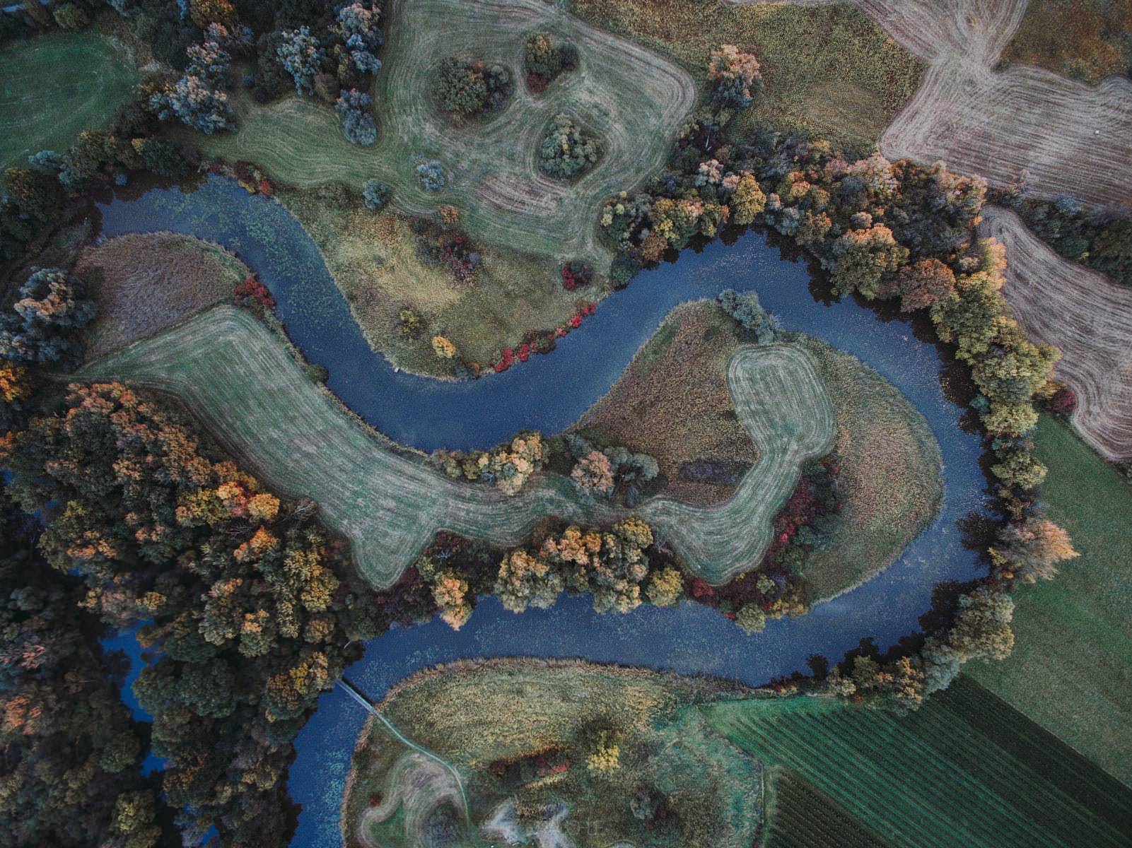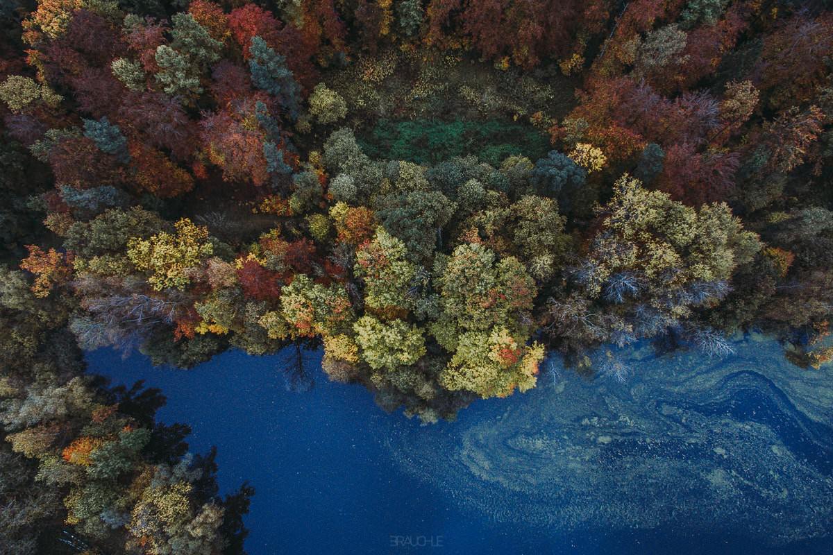
Aerial Shots of Upper Swabia

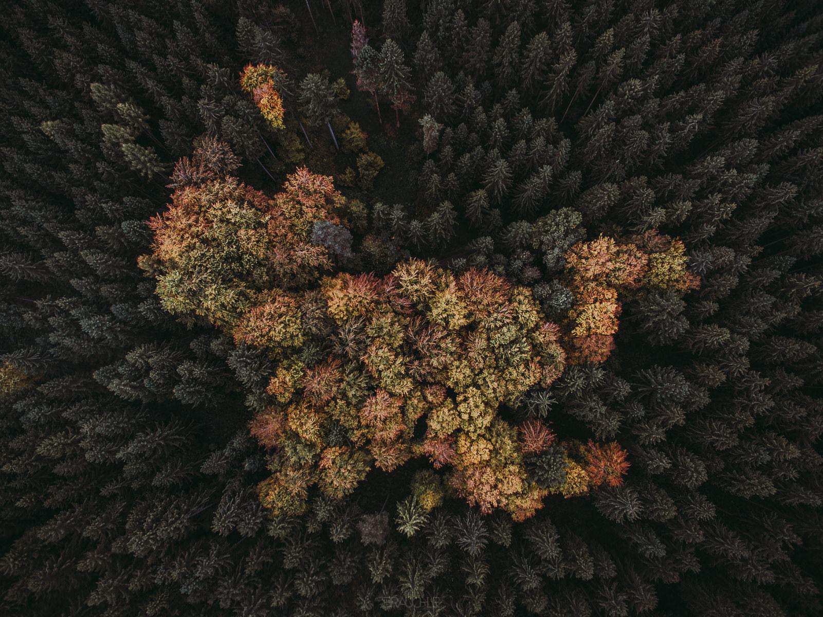
Yesterday I was in my home region of Upper Swabia and sent the drone up again over a forest that already looked interesting from below, with the big field in front of it and the road cutting straight through. The result is a few wild perspectives – in one picture the trees somehow look like a cat from above. Upper Swabia is the hilly country roughly in the triangle between the Danube, Lake Constance and the Iller; hops and fruit grow in the Schussen basin, elsewhere dairy farming and grain shape the landscape.
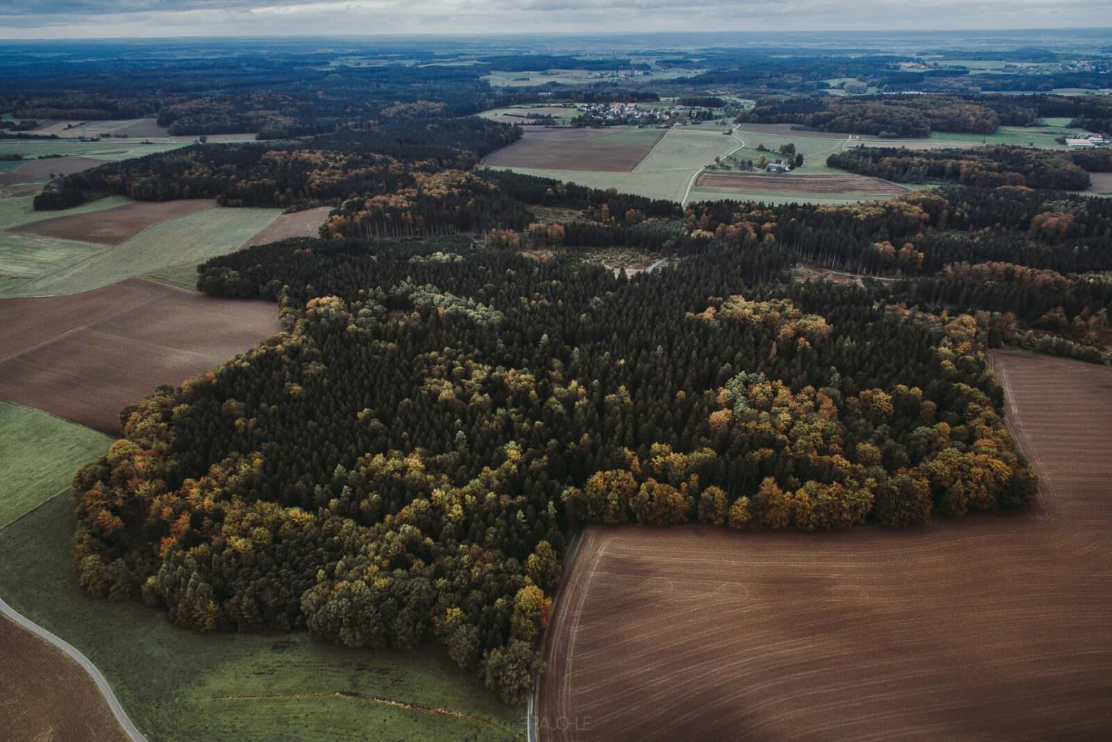
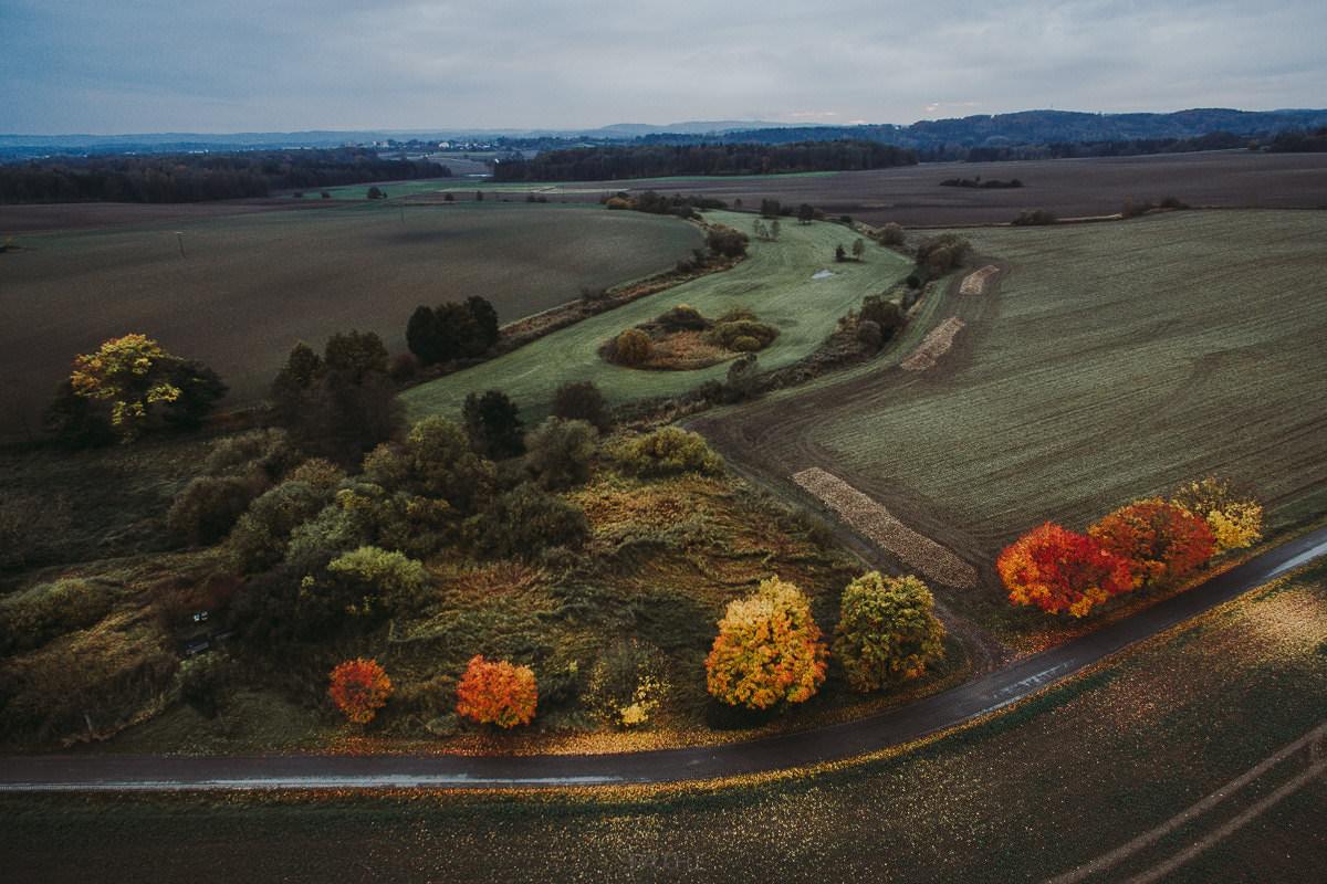
Fields, forest and distant houses on the horizon, from the air in Upper Swabia
Brown fields and autumn forest – Upper Swabia, the hill country between the Danube, Lake Constance and the Iller.
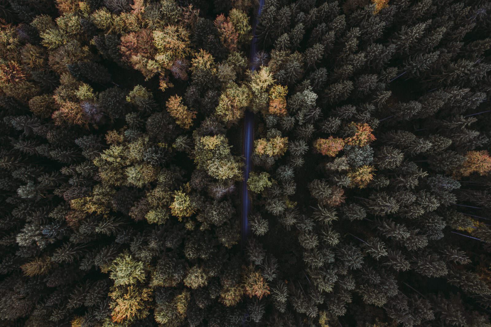
Straight road through yellow and dark treetops, from the air in Upper Swabia
A straight road cuts through yellow and dark treetops.
Yellow group of trees in dark conifer forest, from the air in Upper Swabia
Yellow crowns in the dark conifer wood – the shape really does look a bit like a cat.
Narrow path between yellow and green crowns, from the air in Upper Swabia
A narrow path between yellow and green crowns.
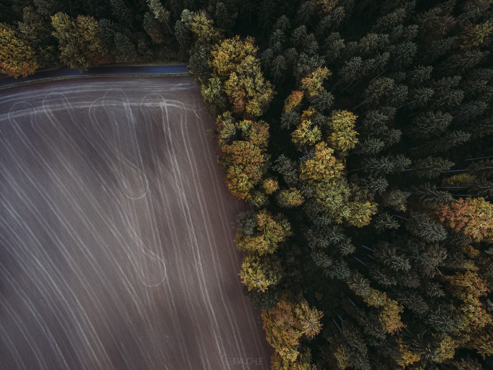
Straight down: autumn forest above, field with curved tracks below, from the air in Upper Swabia
Autumn wood above, the field with its arc-shaped tracks below.
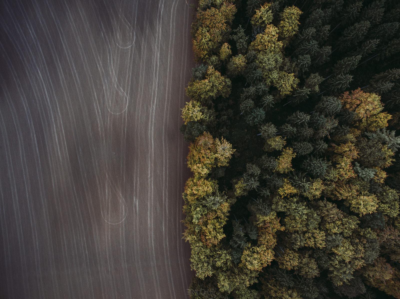
Bare field with curved tracks on the left, autumn forest on the right, from the air in Upper Swabia
The bare field with arc-shaped tracks on the left, the autumn wood on the right.