Hiking on the Walensee

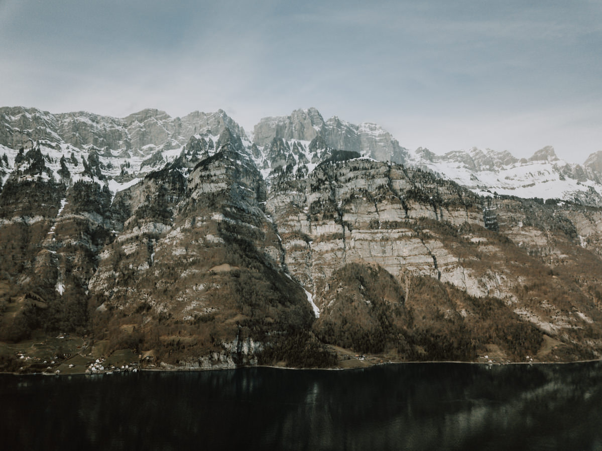
After a few stressful weeks with the move from Friedrichshafen to Konstanz, everyday life is slowly returning. Last Sunday we made use of the lovely weather for two short hikes on the Walensee in Switzerland. The lake, around 15 kilometres long, lies between the cantons of St. Gallen and Glarus, and on its north shore the Churfirsten rise almost vertically above the water. This is also where Quinten lies, a village without a road that can only be reached on foot or by boat, so sheltered that vines, figs and even kiwis grow there. Here are a few aerial shots from our day trip:
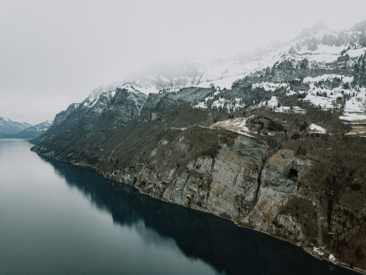
Rock face with a dark opening on the Walensee, snow on the peaks, from the air
Lake Walen beneath the snowy Churfirsten, a dark opening in the rock face.
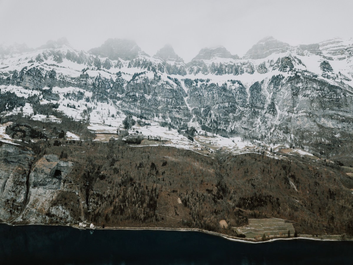
Snowy peak above a brown slope and the lakeshore, from the air, on the Walensee
Snowy peaks above a brown slope, the lakeshore below.
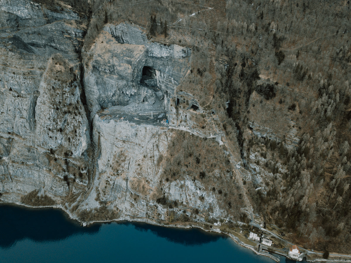
Large dark opening in the rock and houses on the shore, from the air, on the Walensee
A large dark opening in the rock, houses on the shore below.
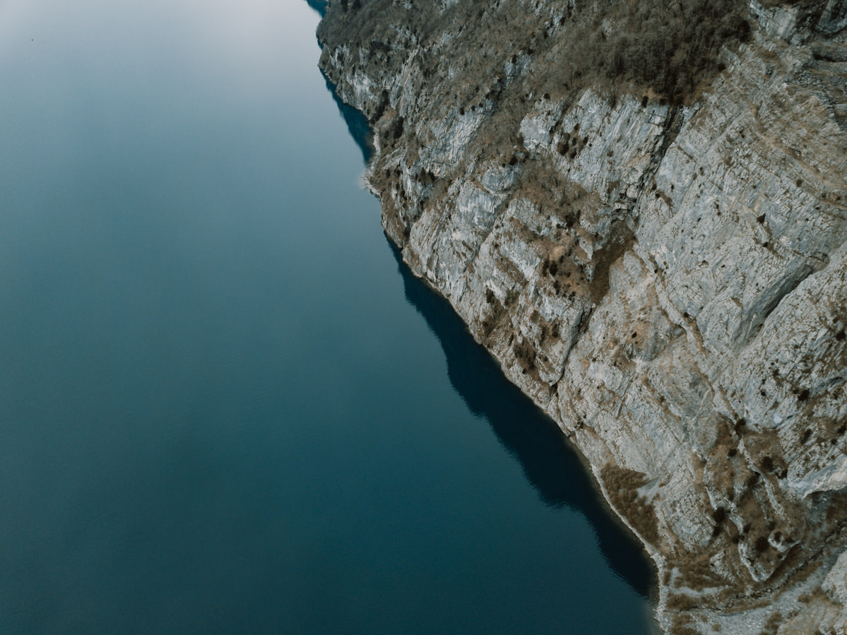
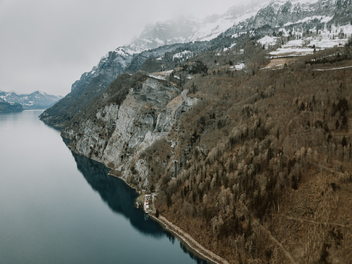
Steep rock face right at the turquoise-green water, from the air, on the Walensee
The rock face drops straight into the turquoise-green water.
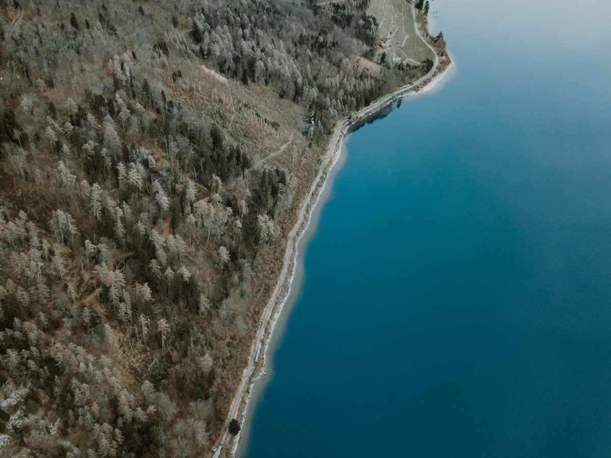
Shore road between bare forest and the turquoise-blue lake, from the air, on the Walensee
A lakeside road between bare forest and turquoise-blue water.
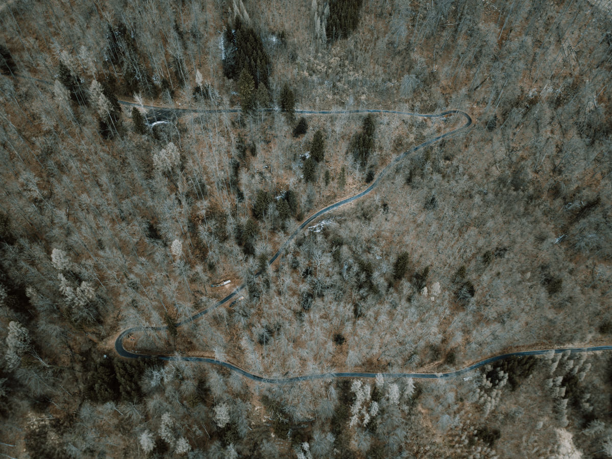
Hairpin road through bare mixed forest, from the air, on the Walensee
Hairpin bends through the bare mixed forest.
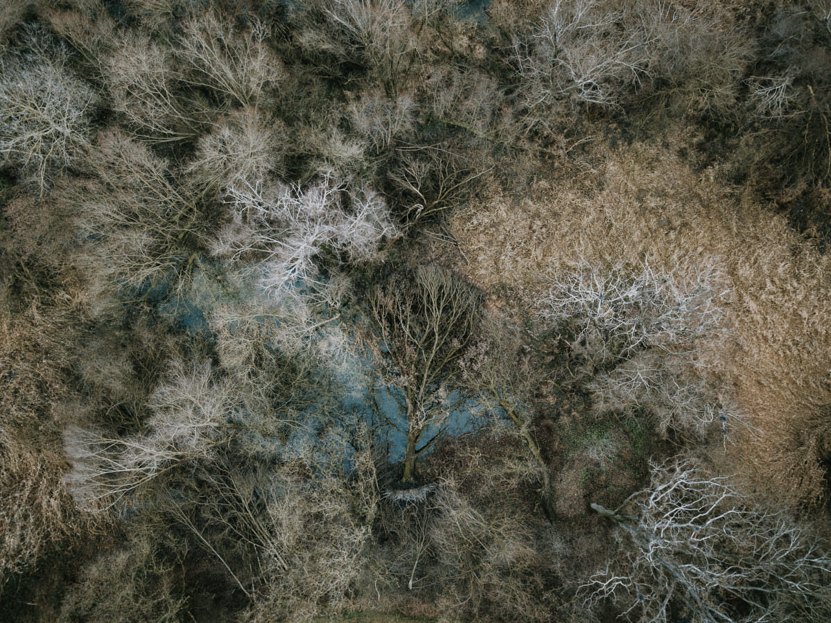
Bare treetops and brown grass, from the air, on the Walensee
Bare treetops and brown grass.
Houses at the foot of the rock face, snow on the peaks, from the air, on the Walensee
Houses at the foot of the rock face – even figs and kiwis grow here.
Snow-covered rock faces reflected in the still Walensee
The snowy rock walls reflected in the still lake.
Rock faces and snowy peaks above the dark Walensee
Rock walls and snowy peaks above the dark Lake Walen.