Aerial Shots of the Bregenz Forest and Balderschwang
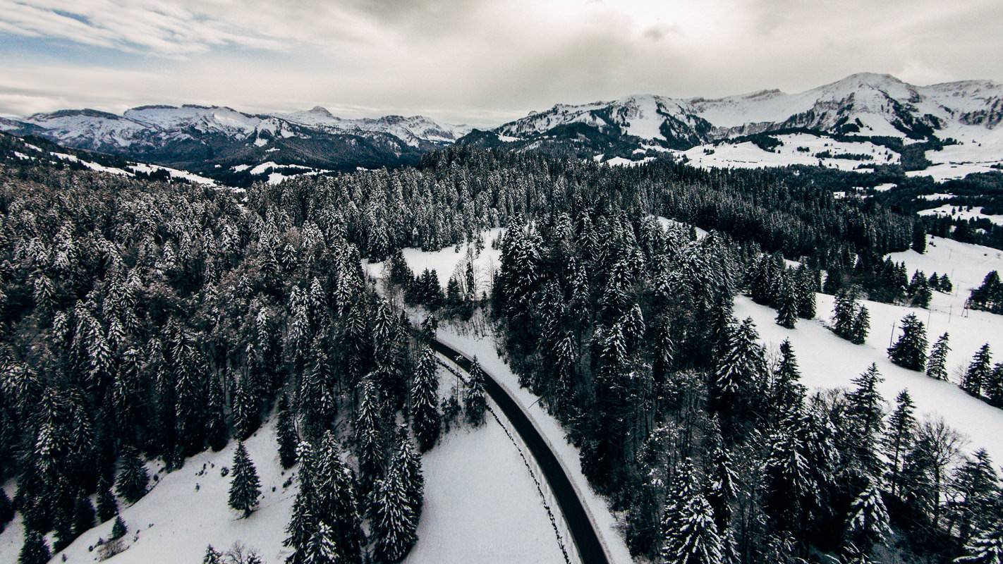
On Tuesday I had arranged to meet Sue and Philipp in Balderschwang for a preliminary talk about their wedding. Because the weather was good for the drone, I packed it and set off a little earlier towards the Bregenz Forest. On the way I stopped twice and let it fly a little. Balderschwang lies in a high valley of the Allgäu Alps, geographically already part of the Bregenzerwald, and at 1,044 metres has the highest village centre in Germany.
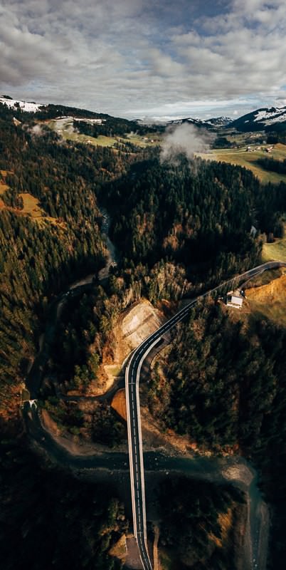
Road with a wide bend through the forest, from the air, in the Bregenz Forest
A road curving through the forest – on the way to Balderschwang.
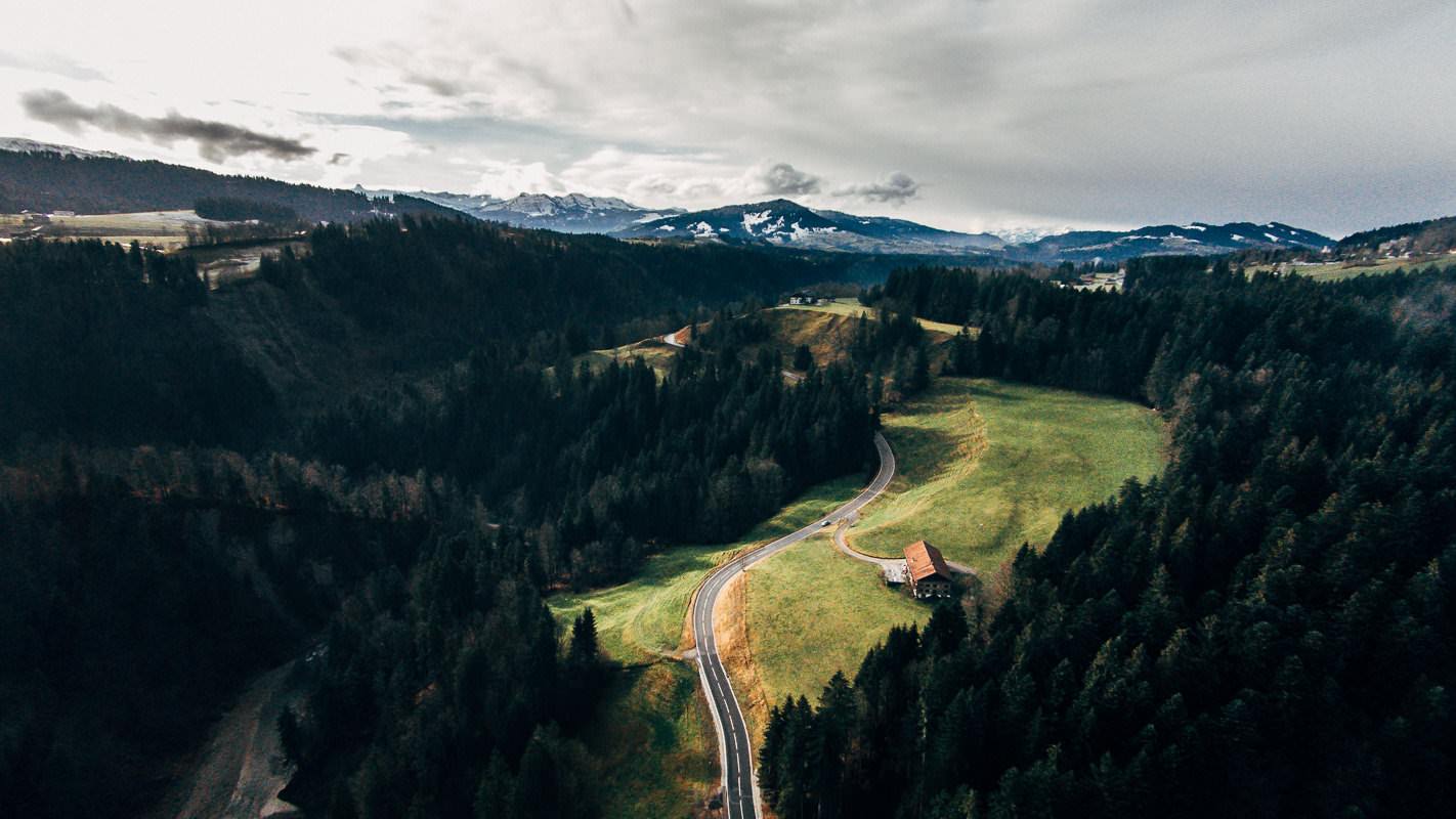
House on the winding road between meadow and forest, from the air, Bregenz Forest
A house by the winding road between meadow and forest.
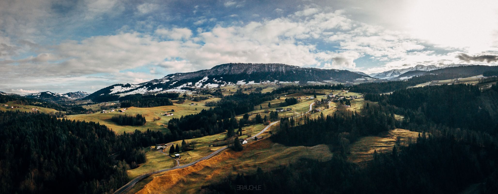
Scattered farms and roads in the wide valley, from the air, in the Bregenz Forest
Scattered farms in the wide valley of the Bregenzerwald.
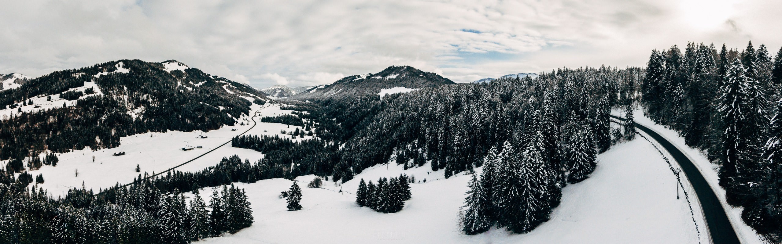
Snow-covered valley with two roads, spruces at the edge, from the air, Bregenz Forest
A snowy valley with two roads, spruces at the edge.
Black road through snowy spruce forest, from the air, in the Bregenz Forest
A black road through snowy spruce forest.