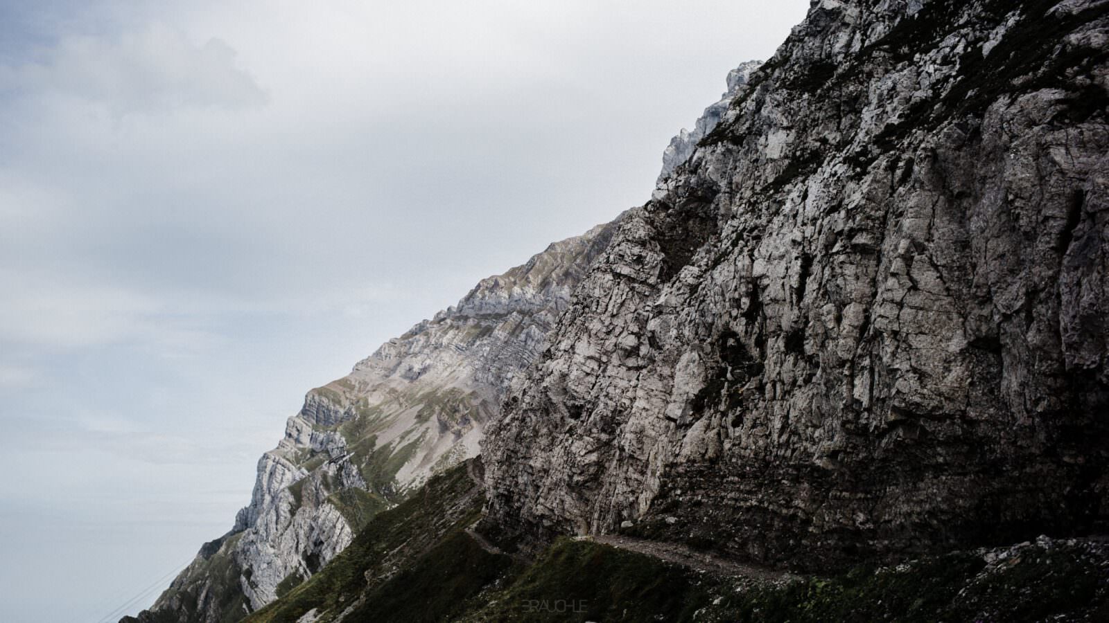
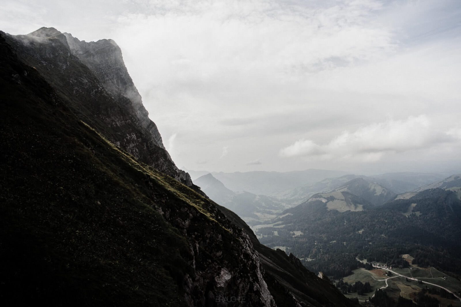
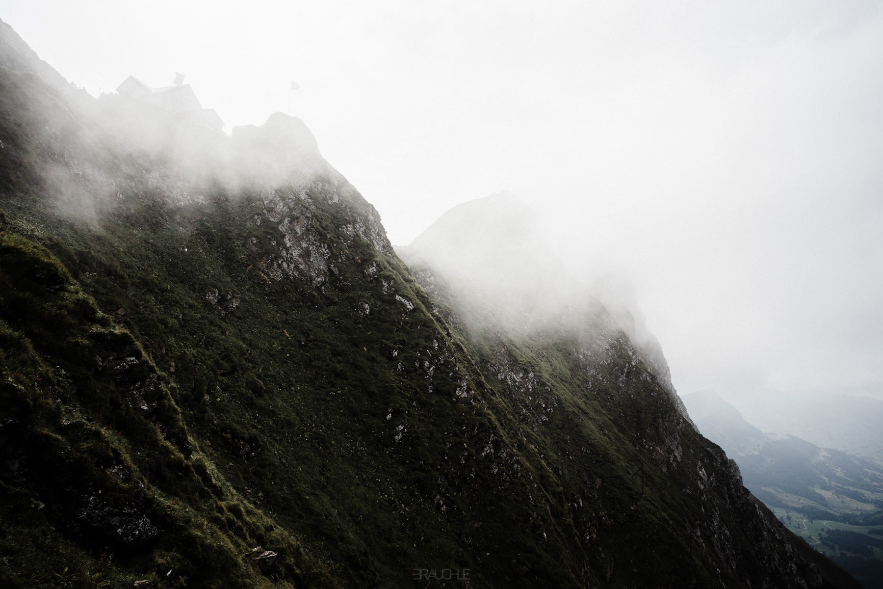
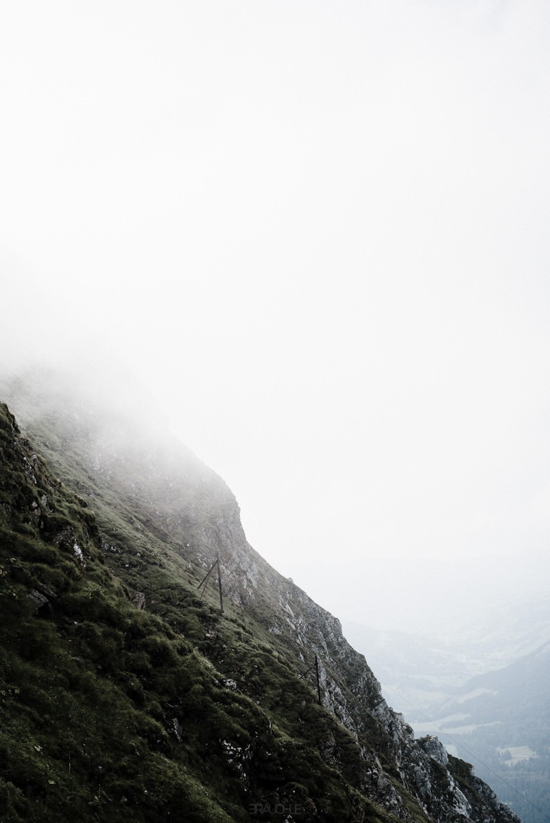
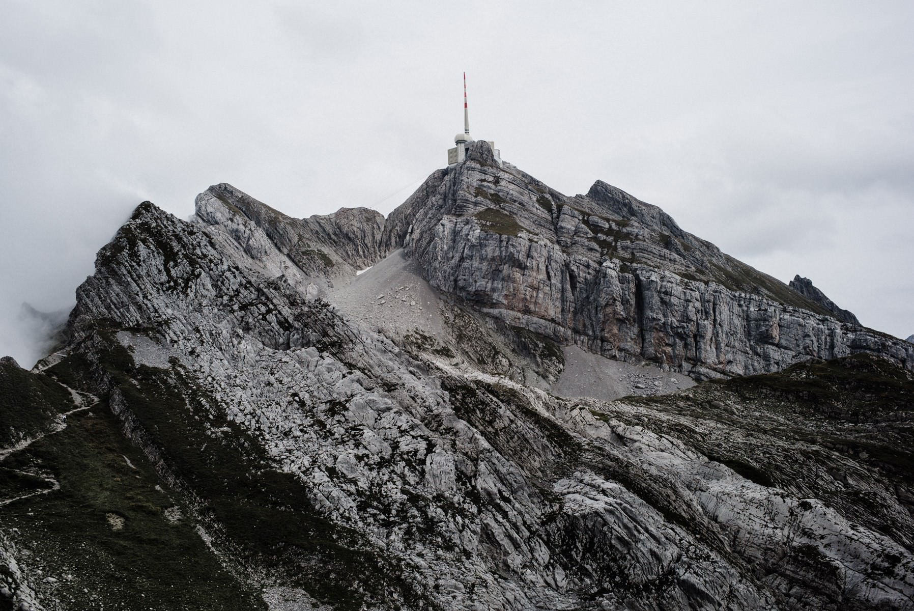
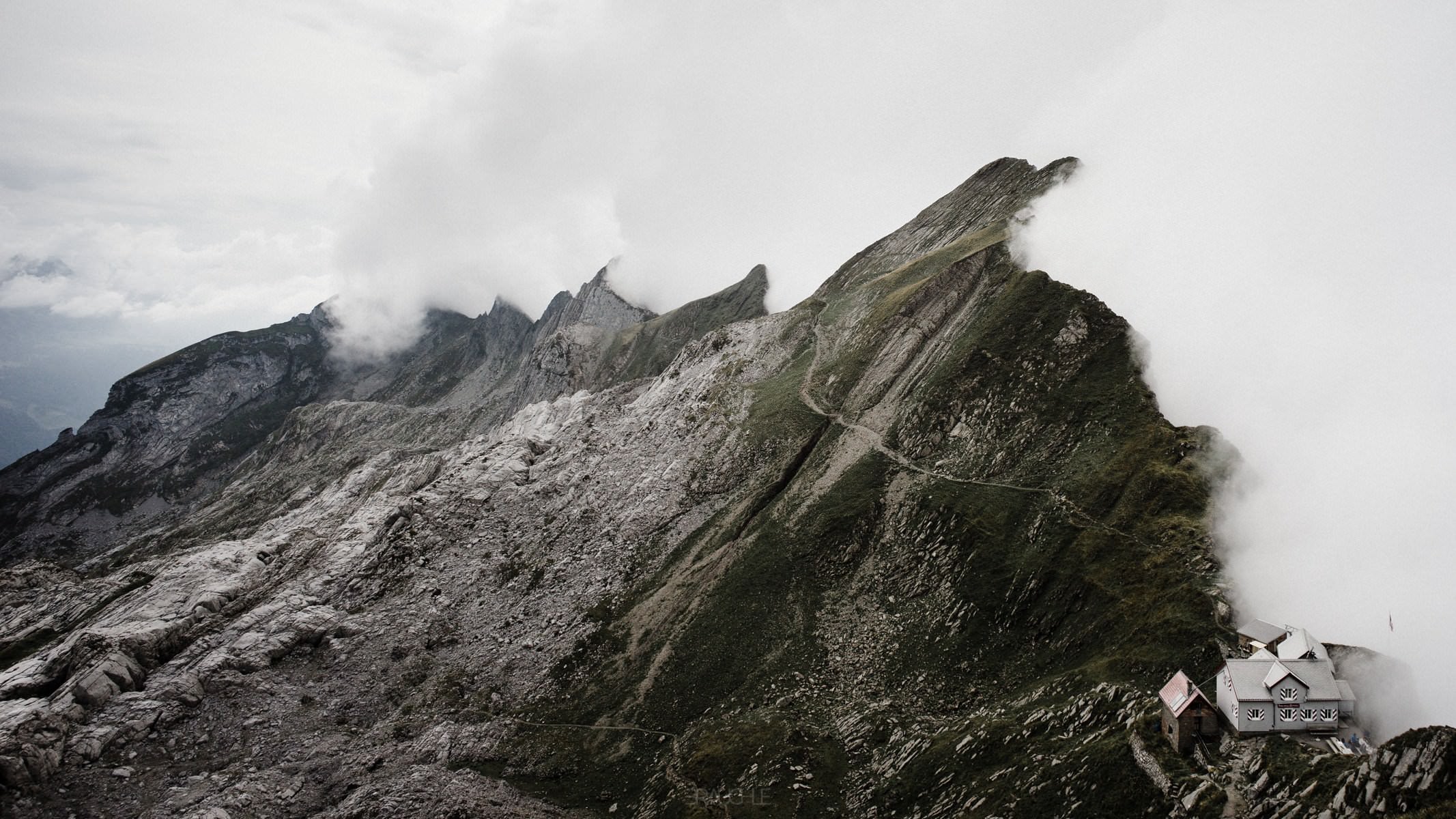
At the weekend Rita and I went hiking on the Säntis. Good weather was only forecast until Saturday afternoon, but that should be enough time to cover the roughly 1,200 metres of ascent from the Schwägalp to the summit on foot. The hike was really tough in places, but the landscape was magnificent, especially from the Grenzchopf onwards.
Drone flight and summit
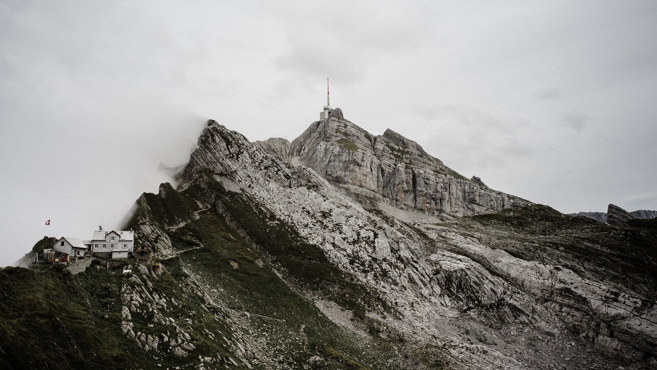
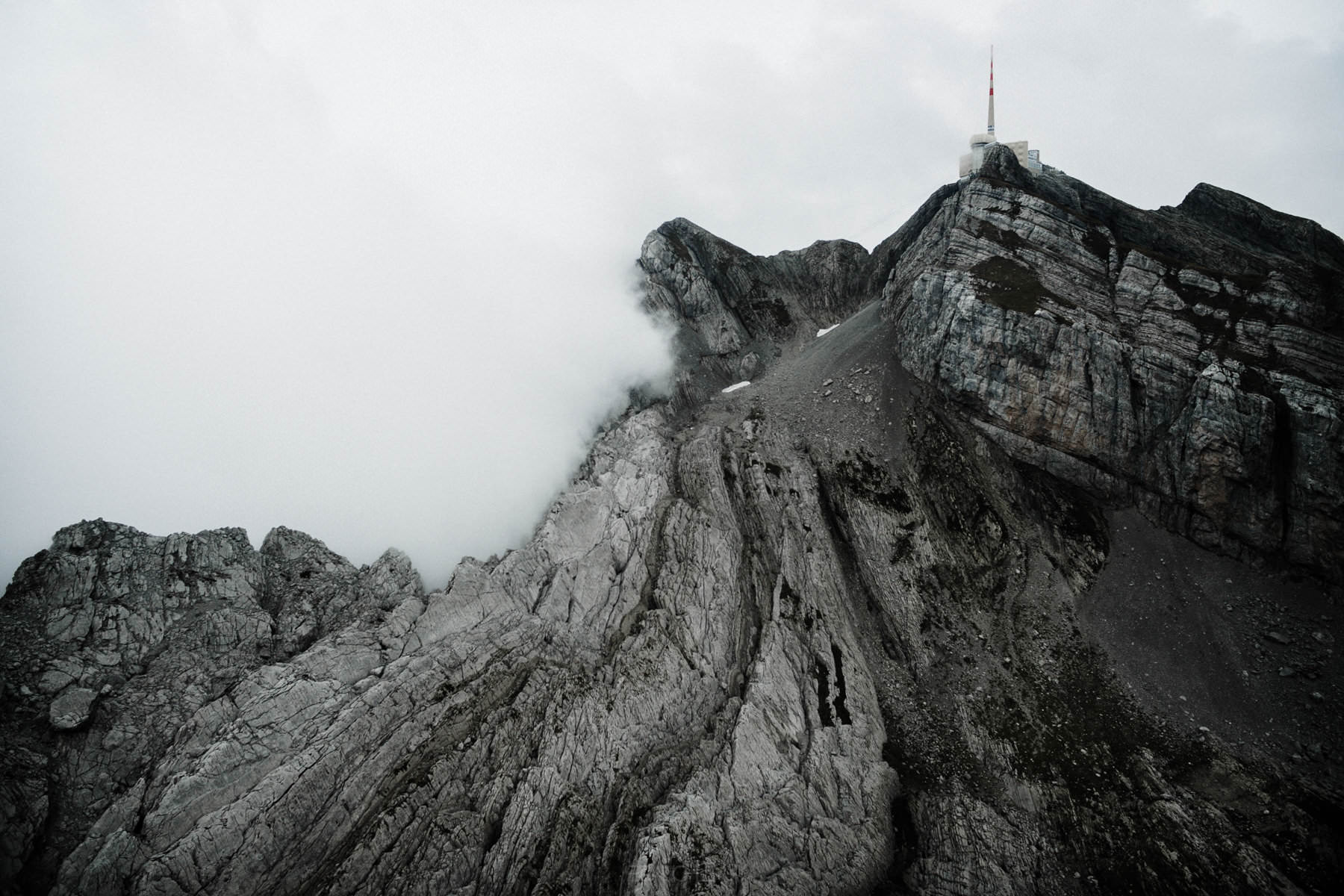
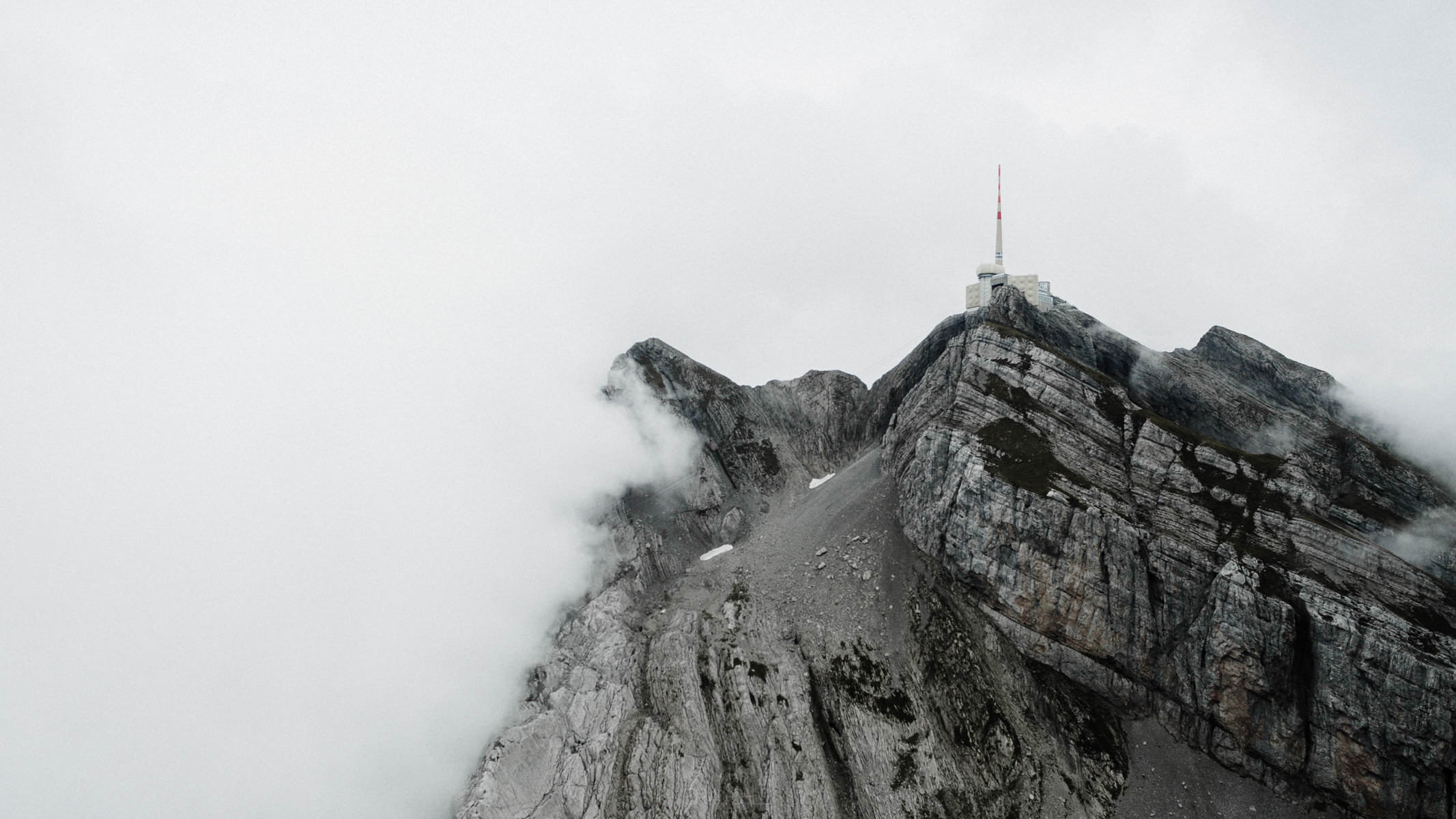
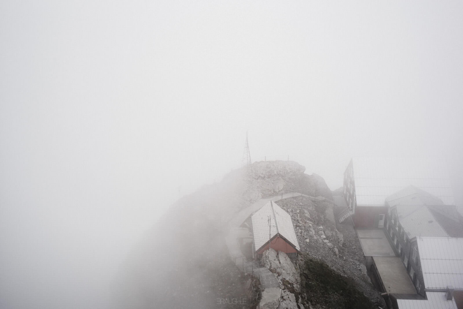
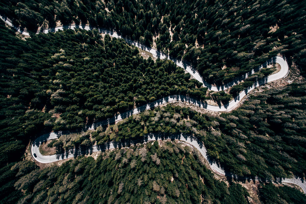
As more and more clouds moved in, I sent the drone up in good time before we climbed to the summit. At the top there was a well-earned schnapps, then we took the cable car leisurely back down into the valley. At 2,502 metres, the Säntis is the highest mountain in the Alpstein, between Lake Constance and Lake Walen; because it stands so exposed to the north, it can be seen far into southern Germany – three cantons meet at its summit.
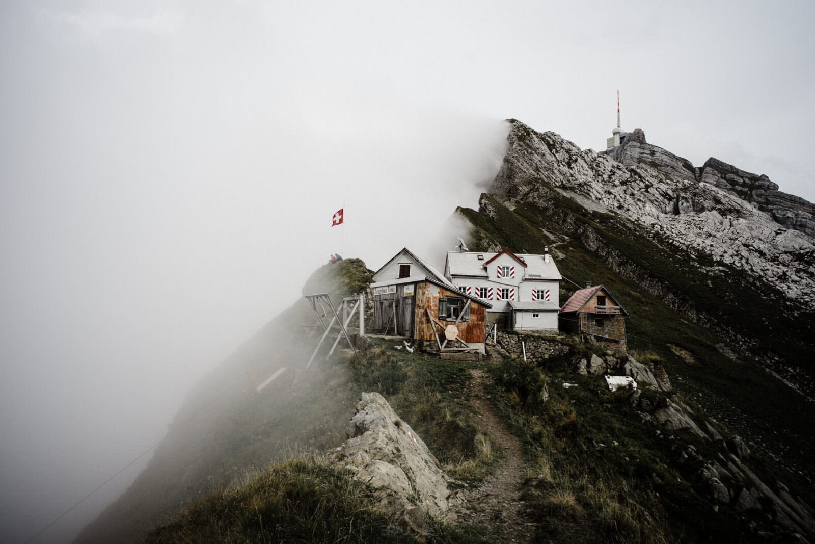
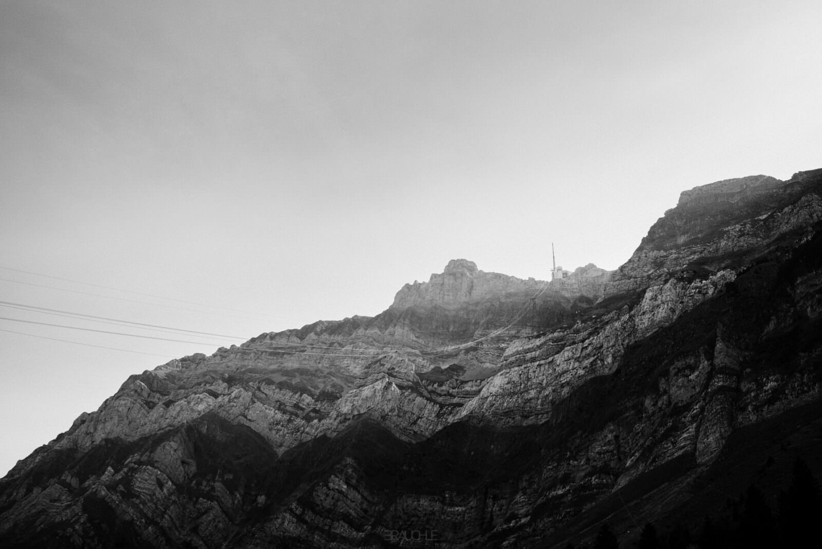
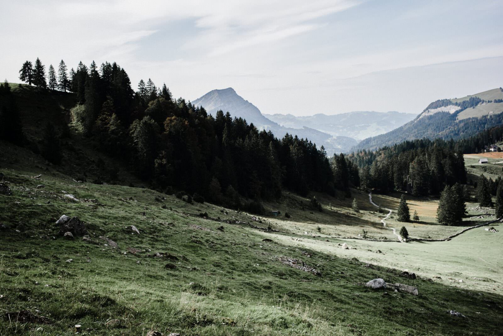
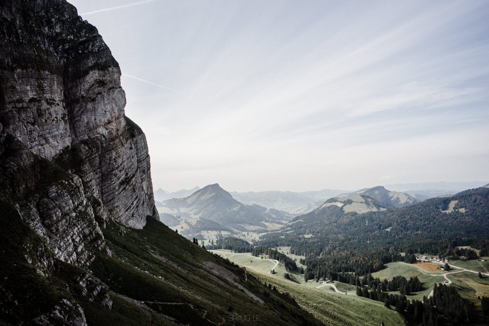
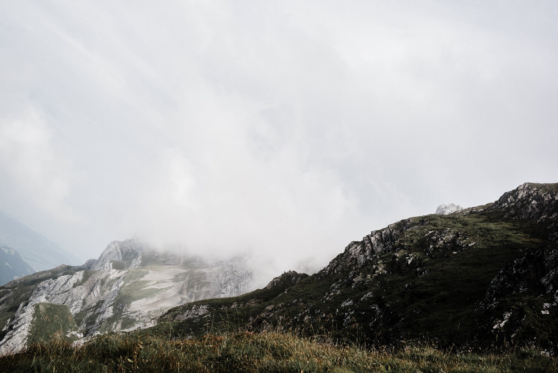
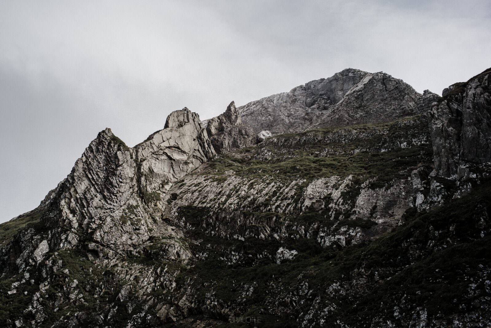
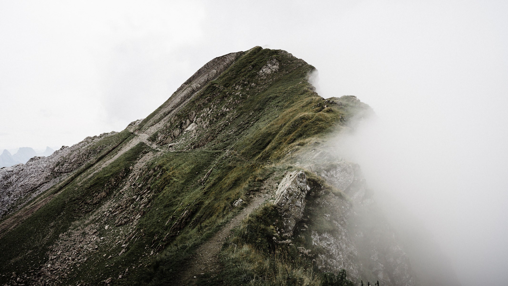
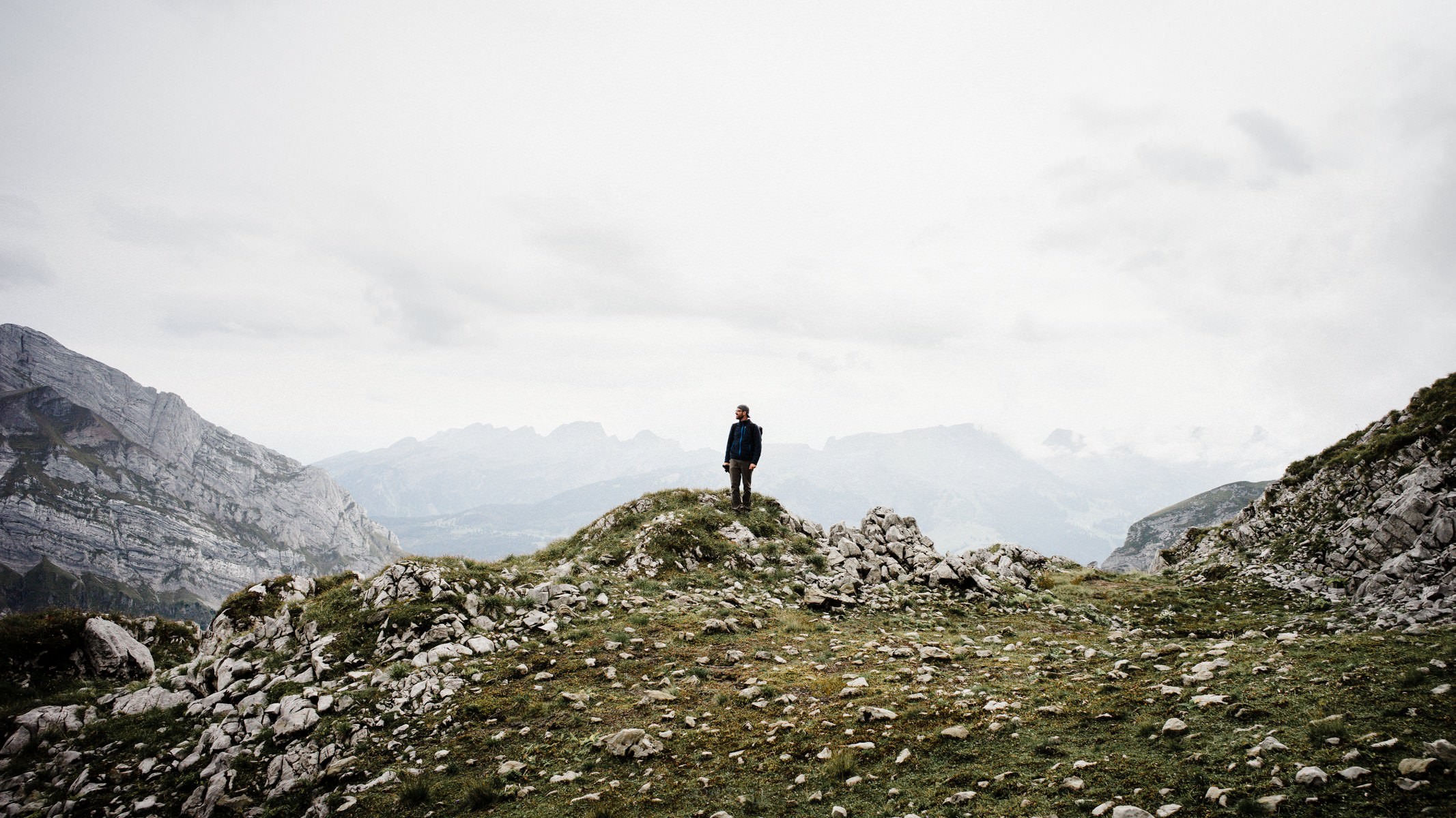
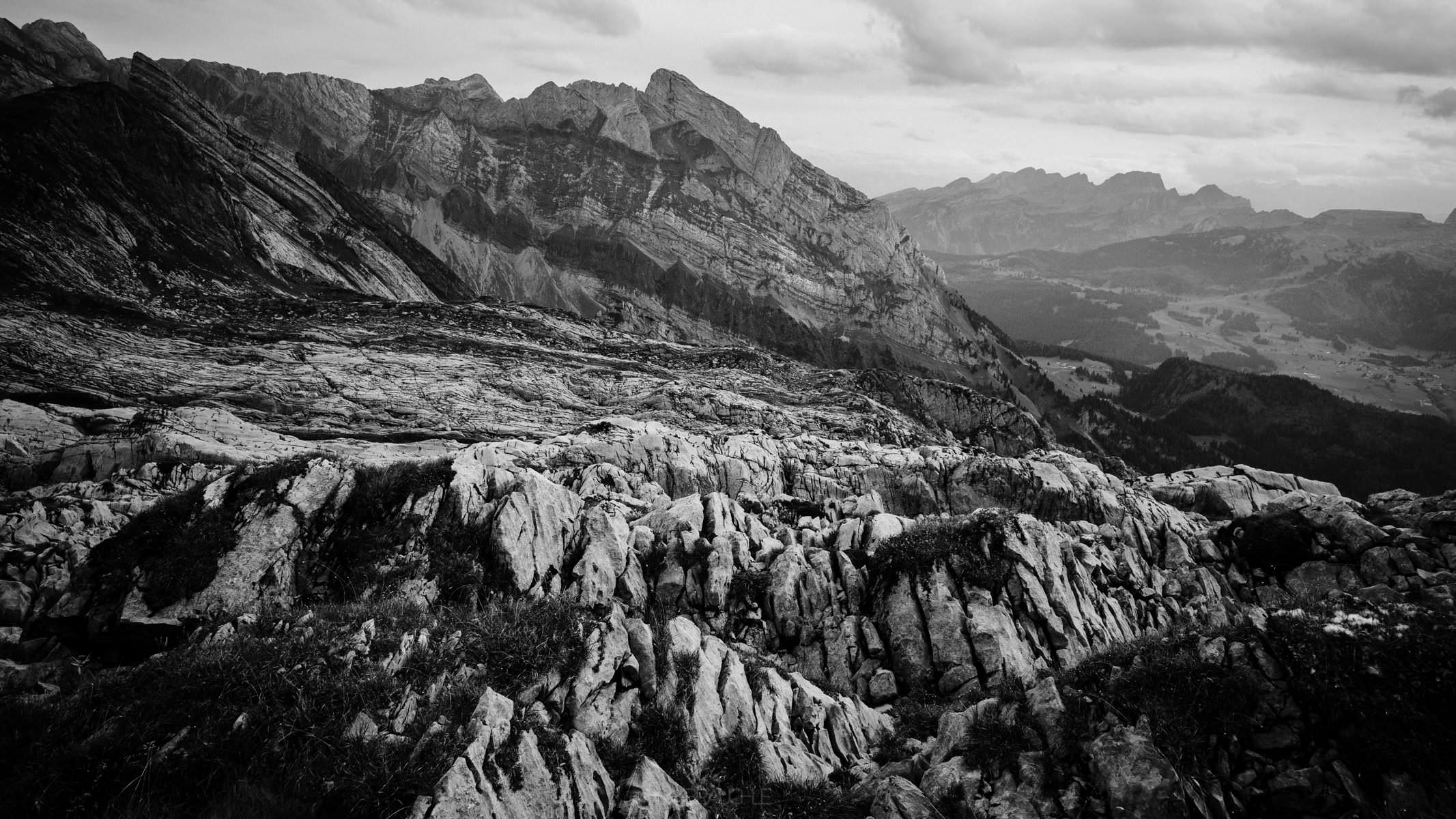
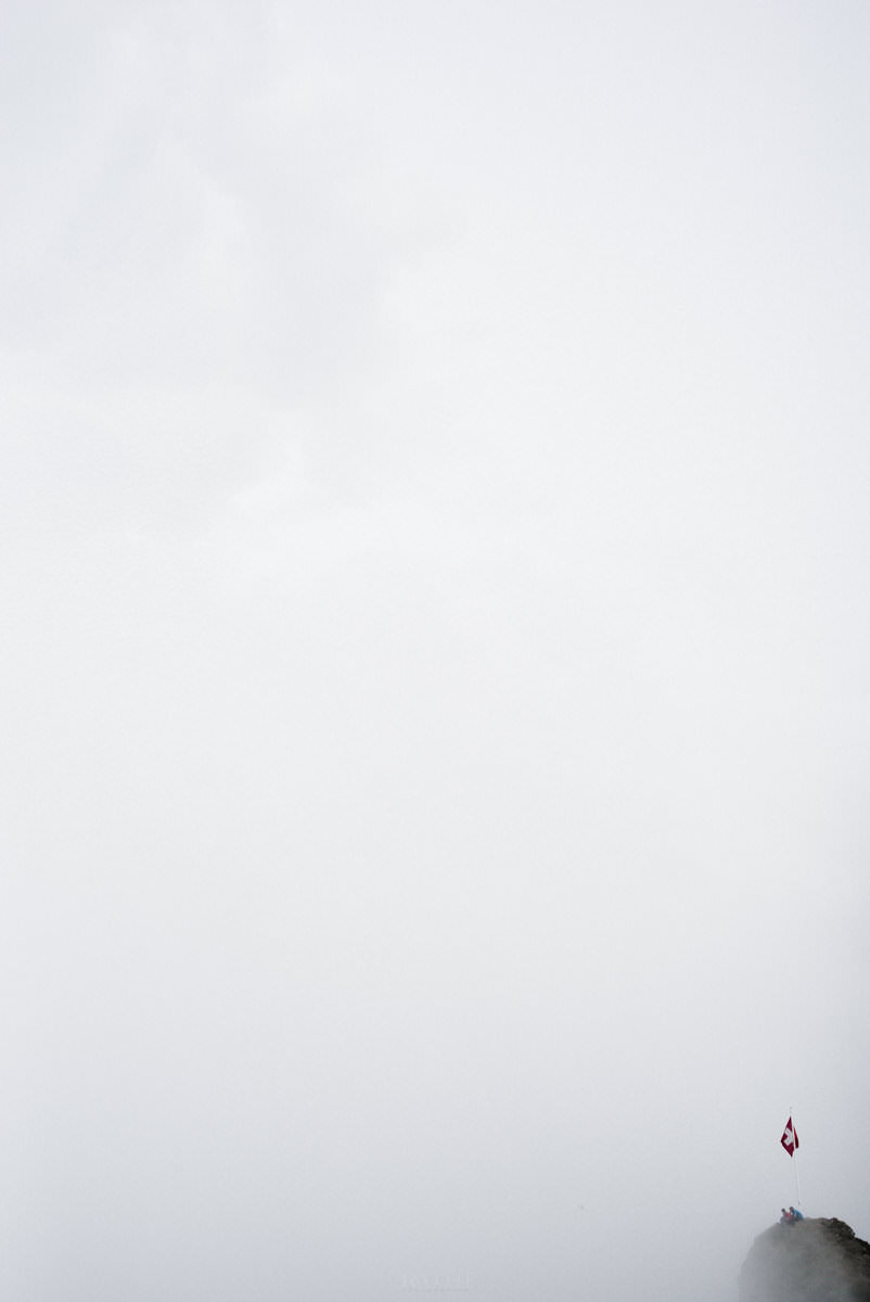
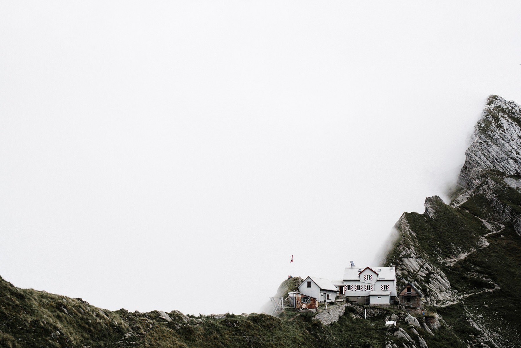
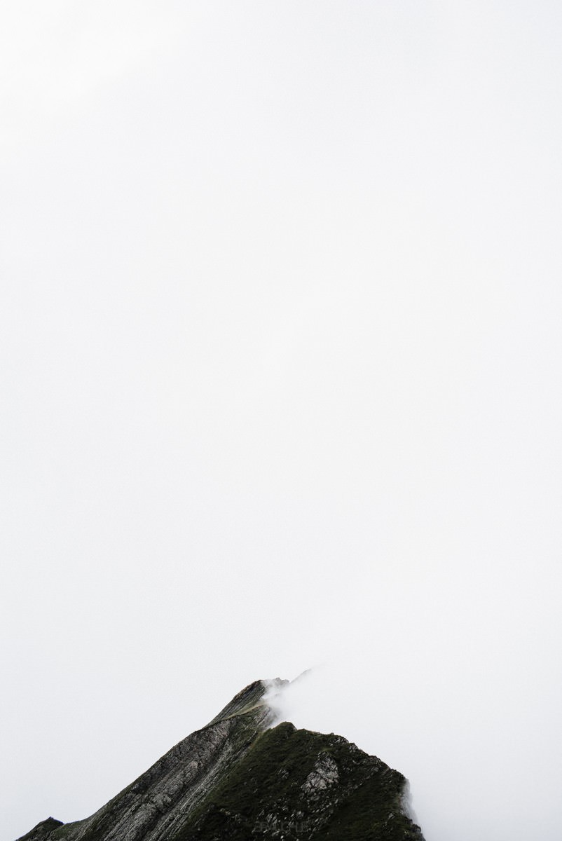
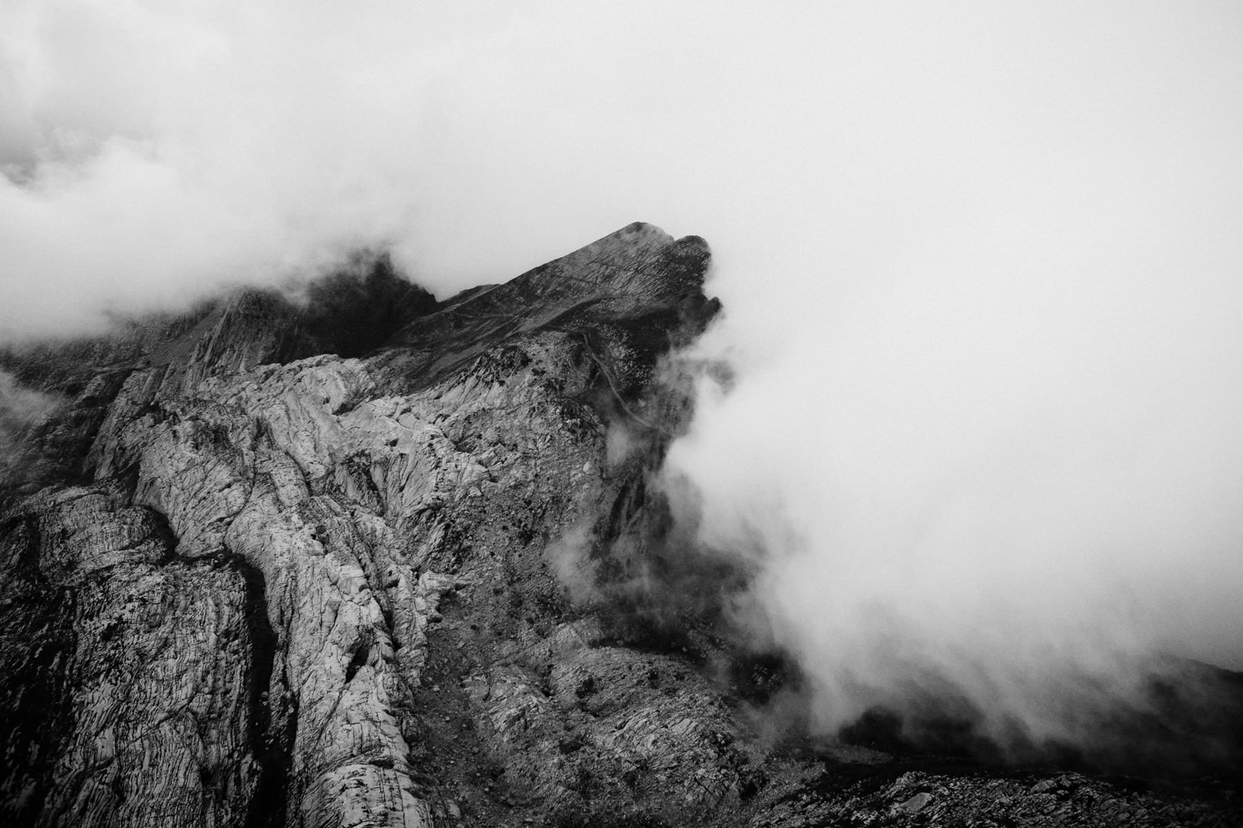
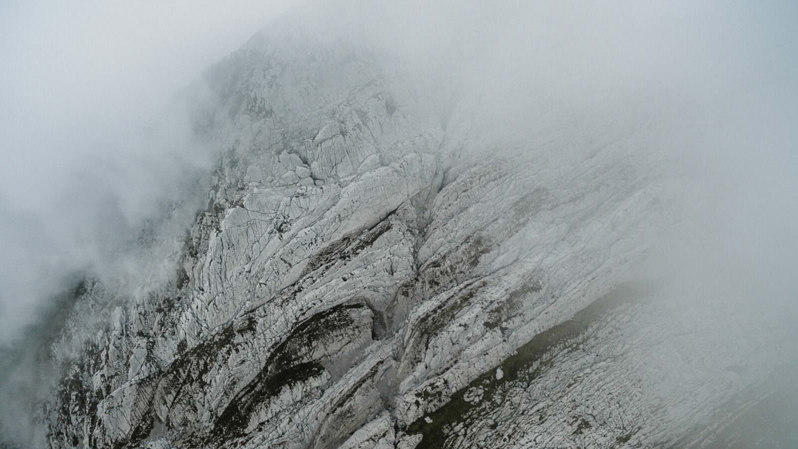
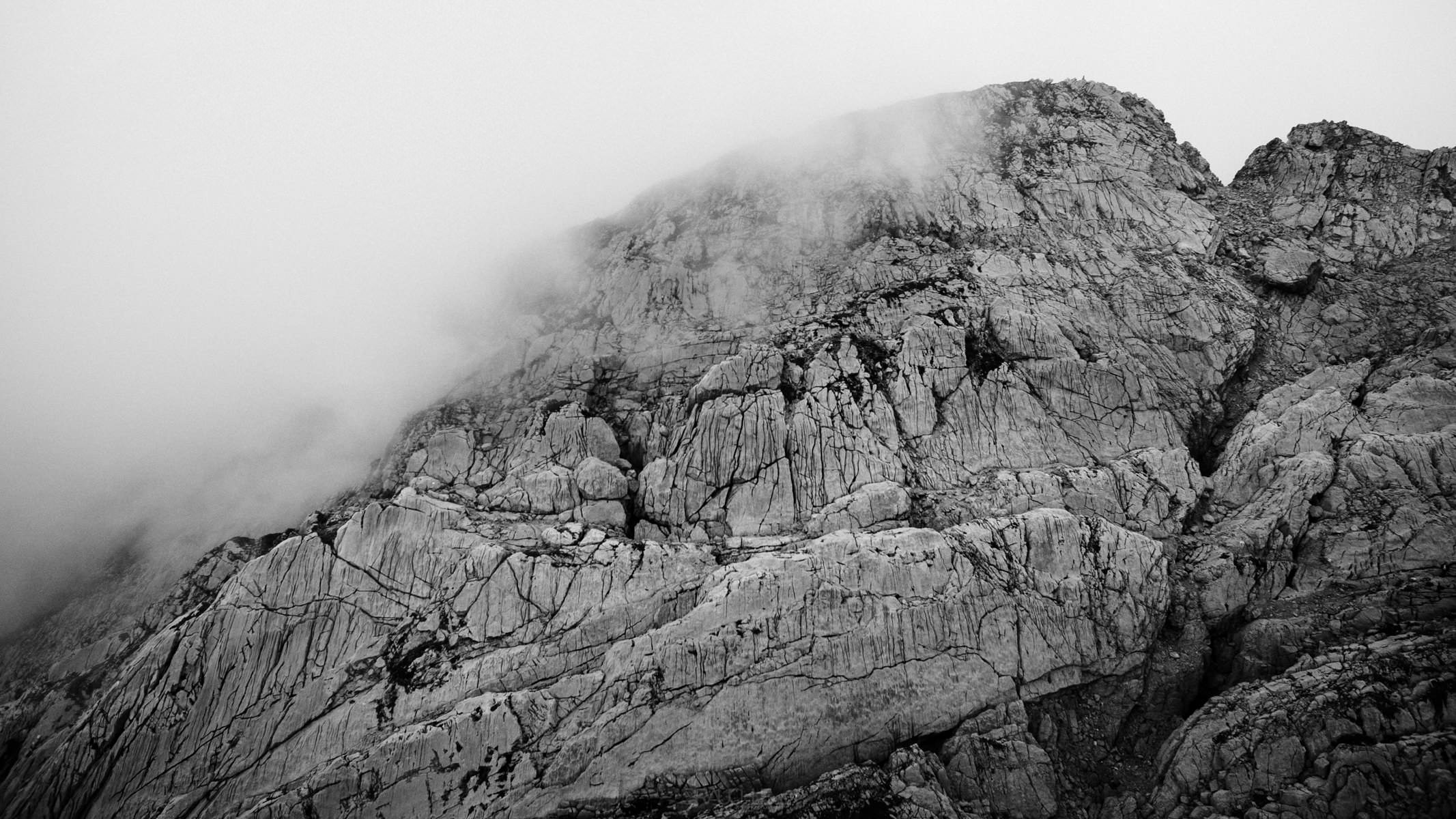
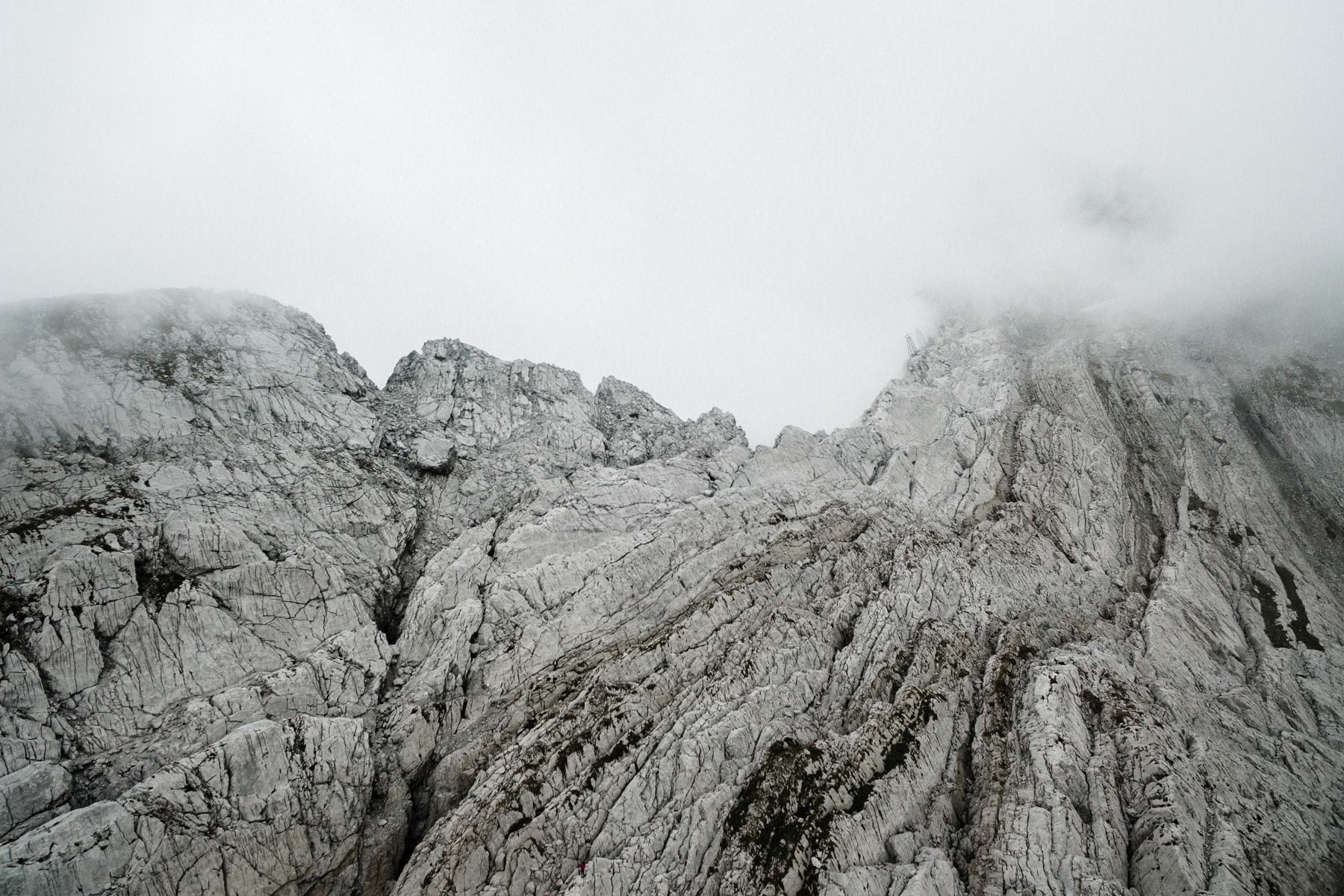
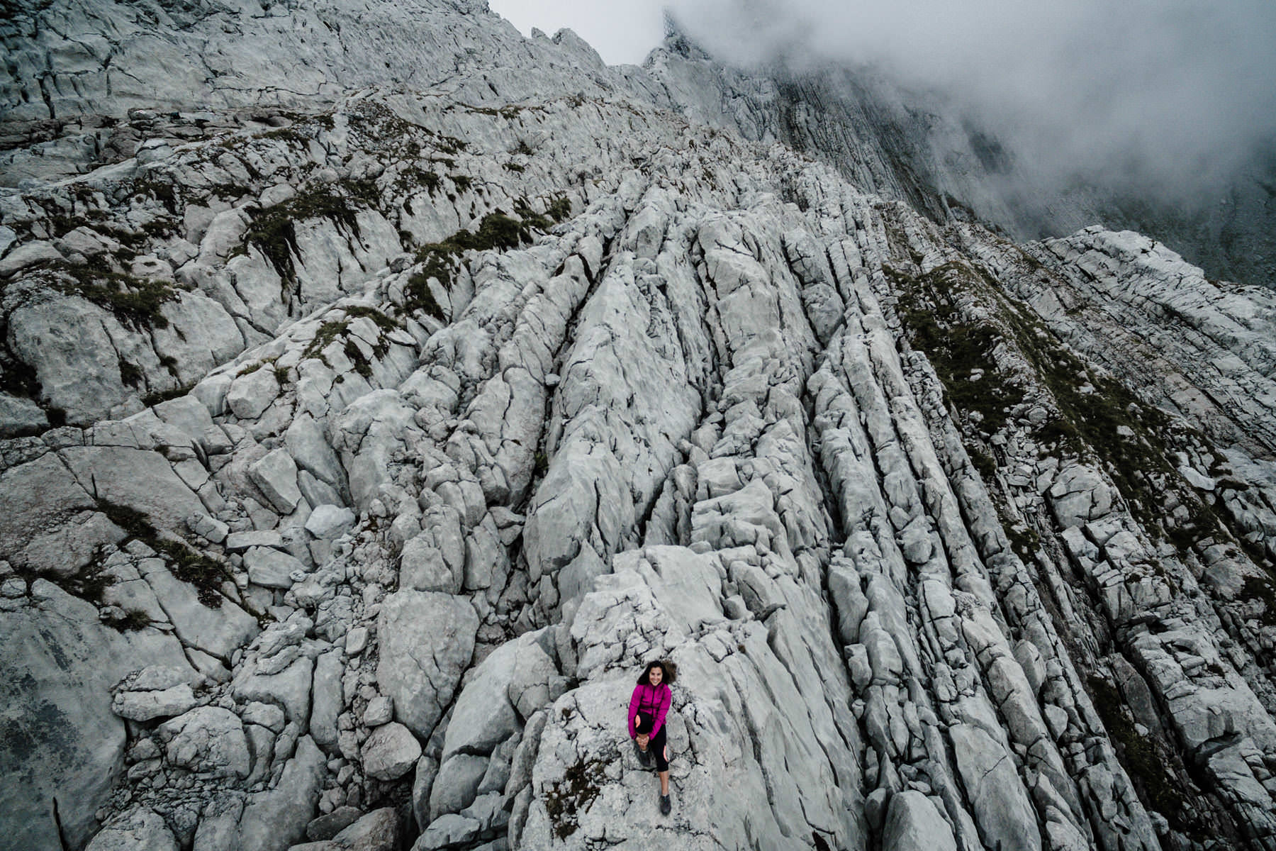
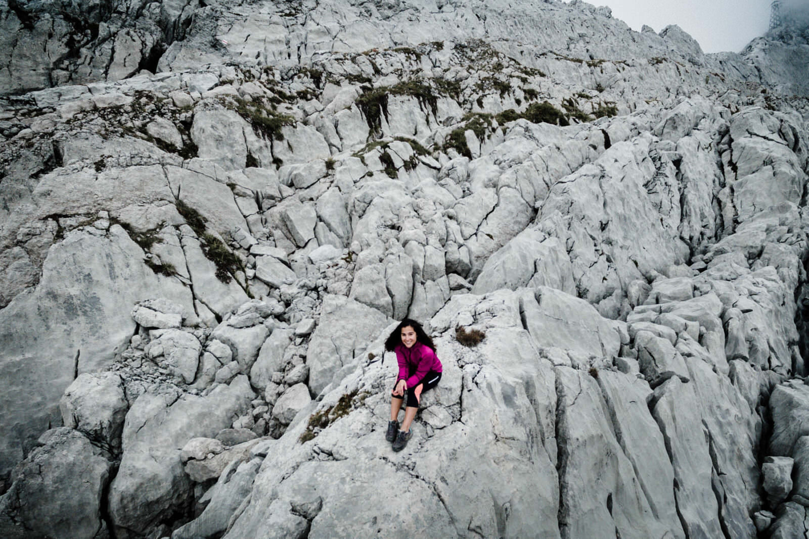
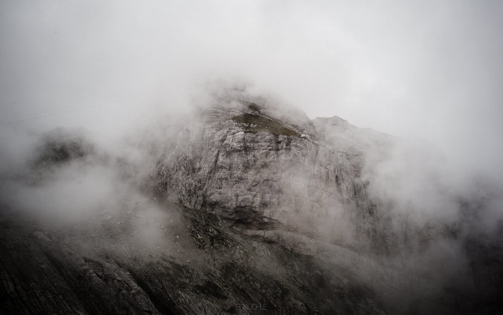
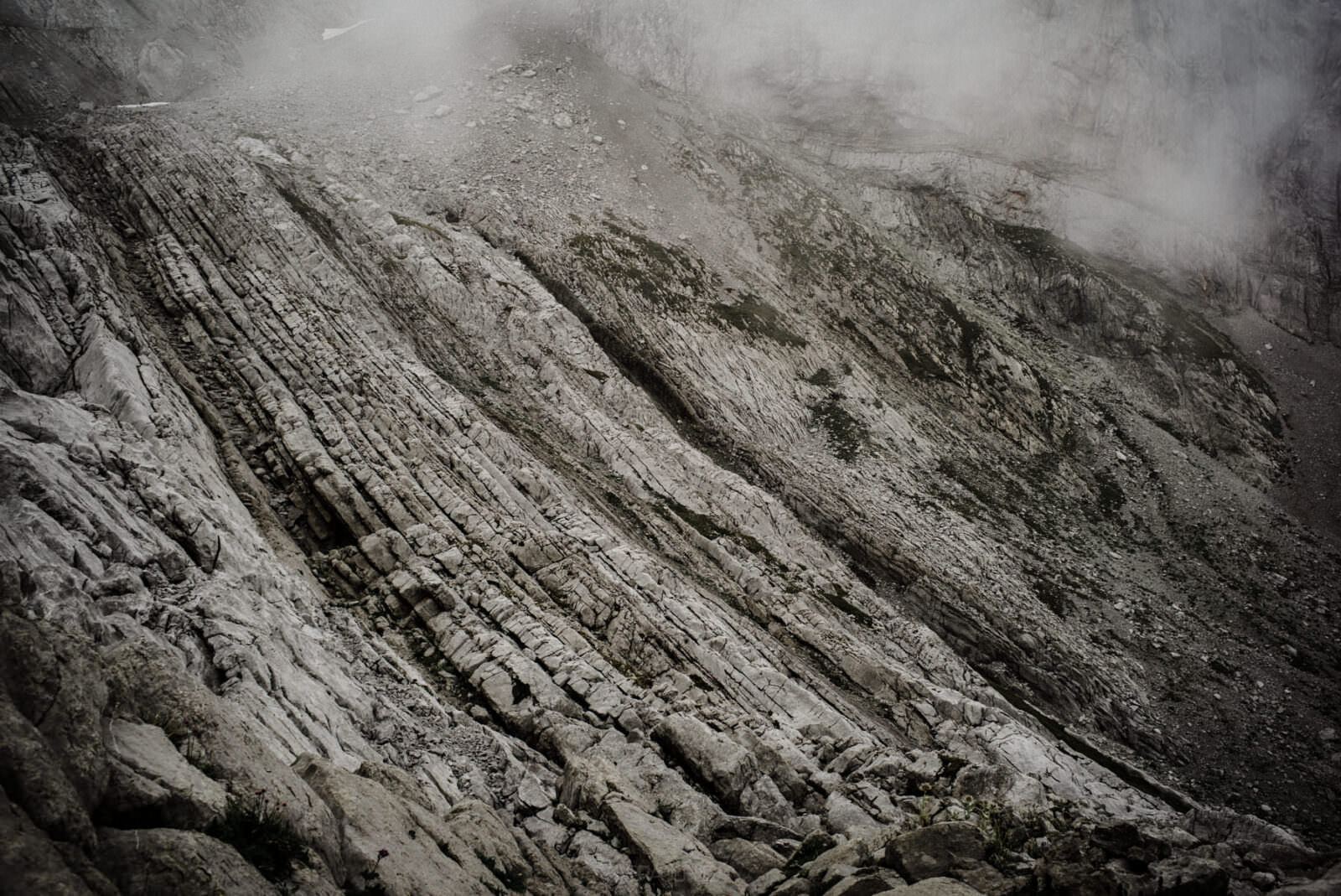
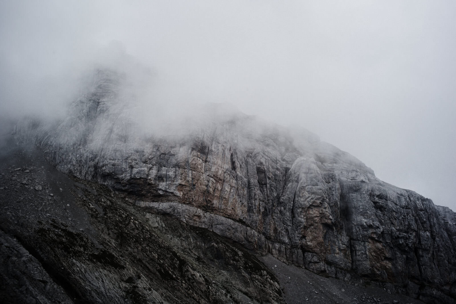
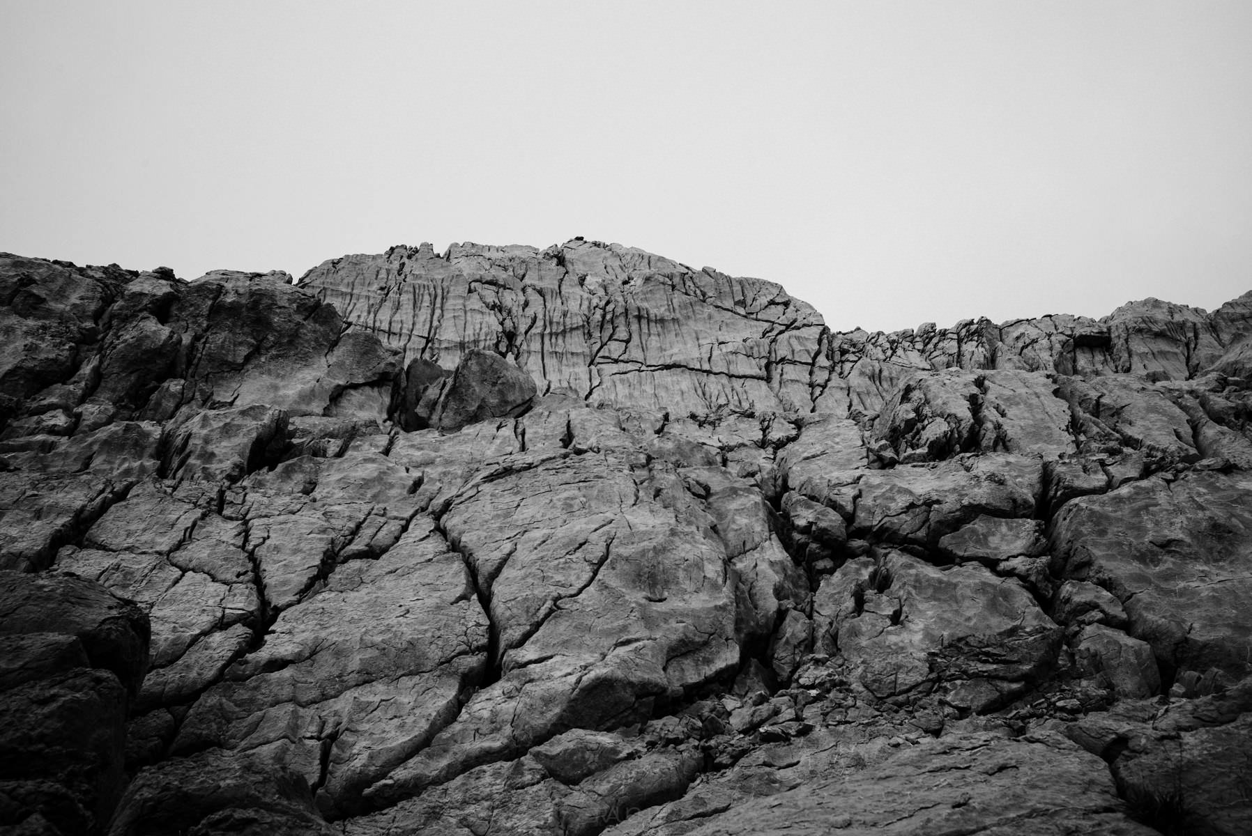
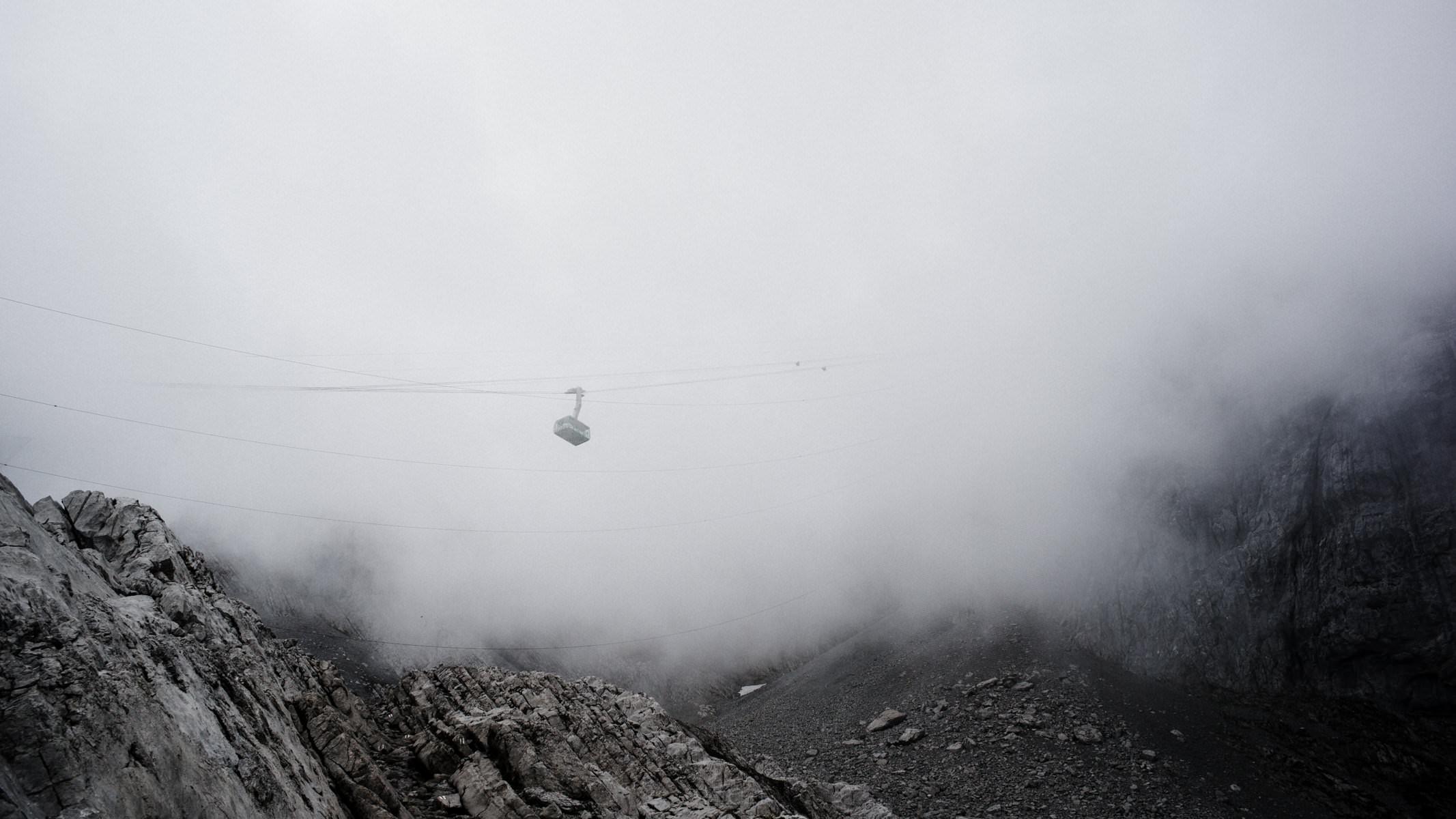
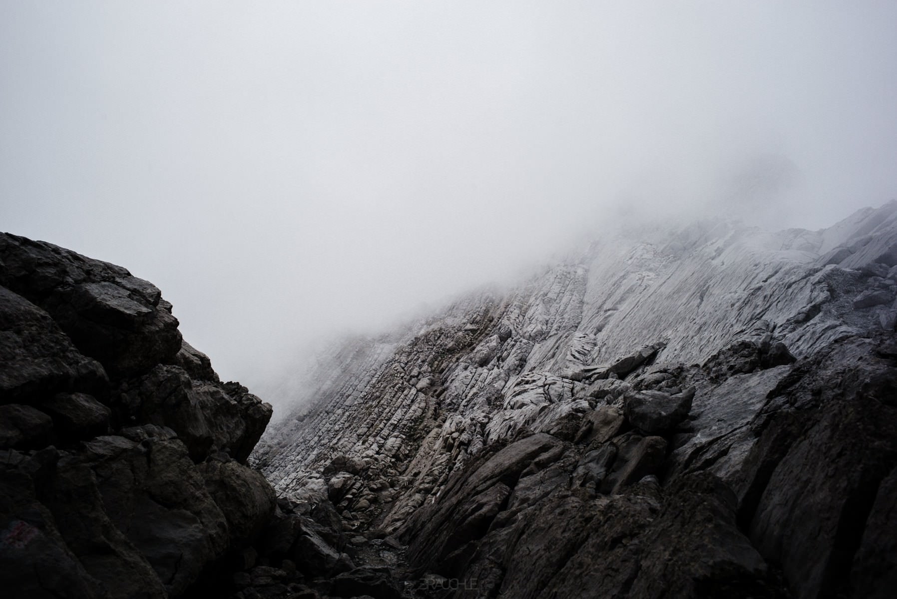
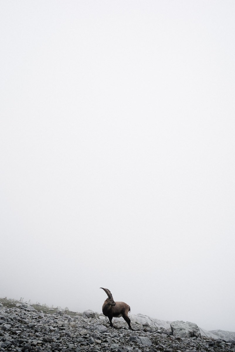
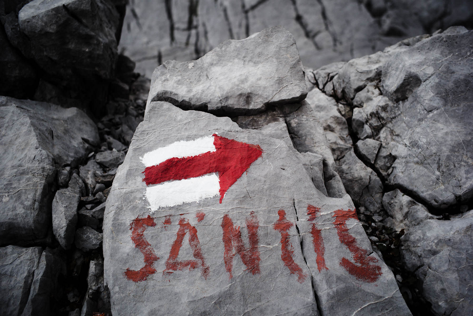
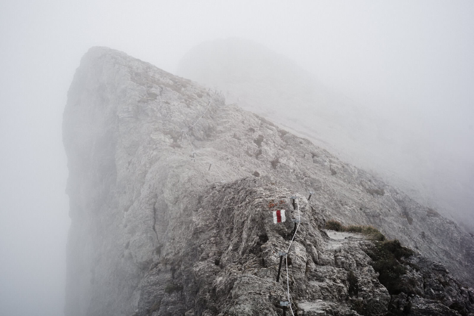
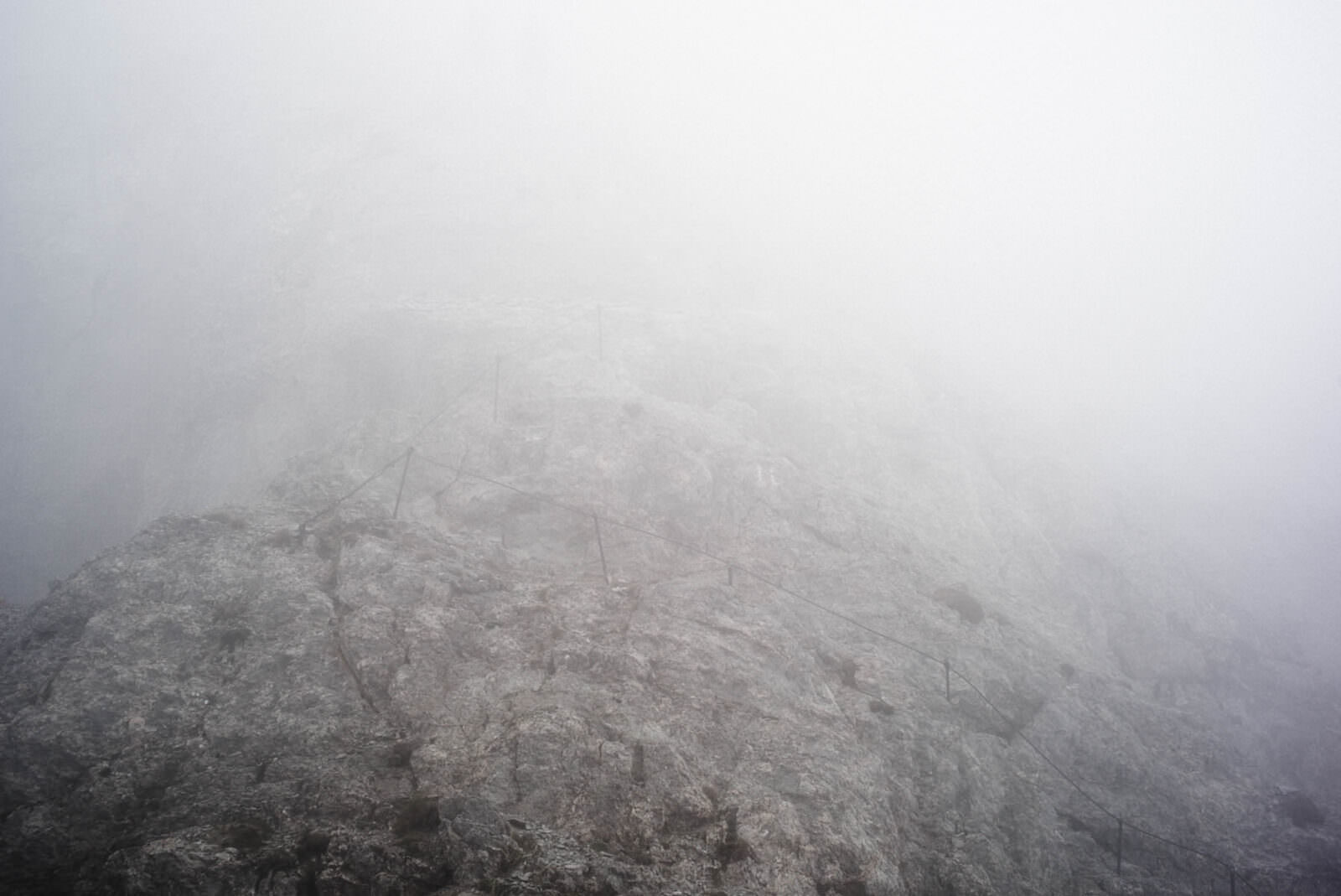
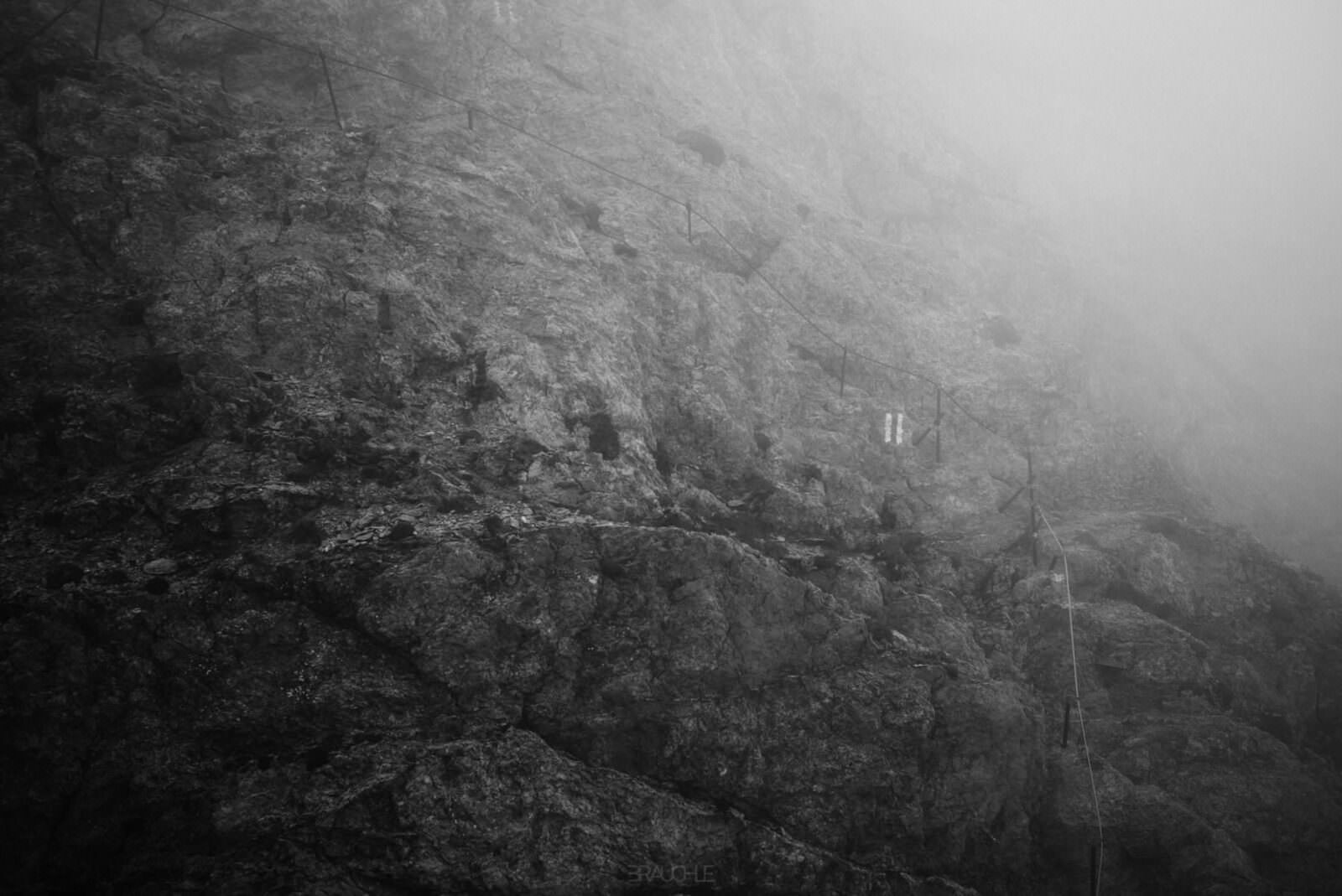
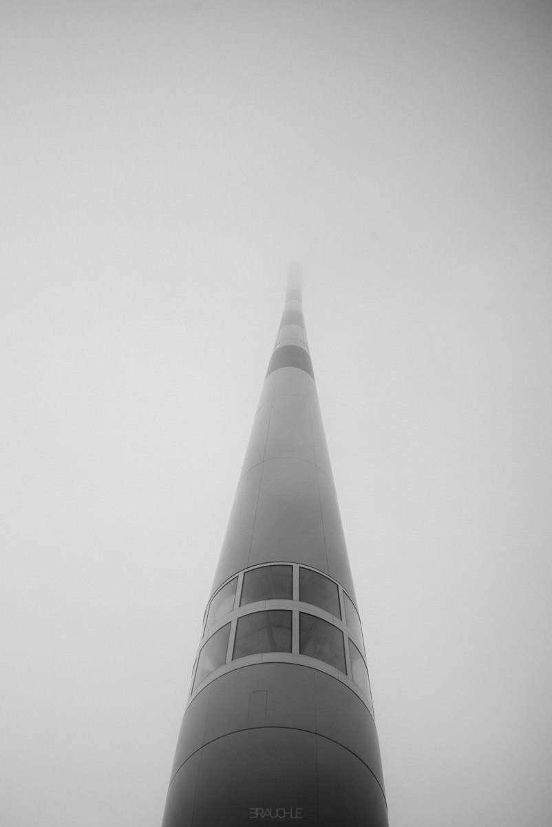
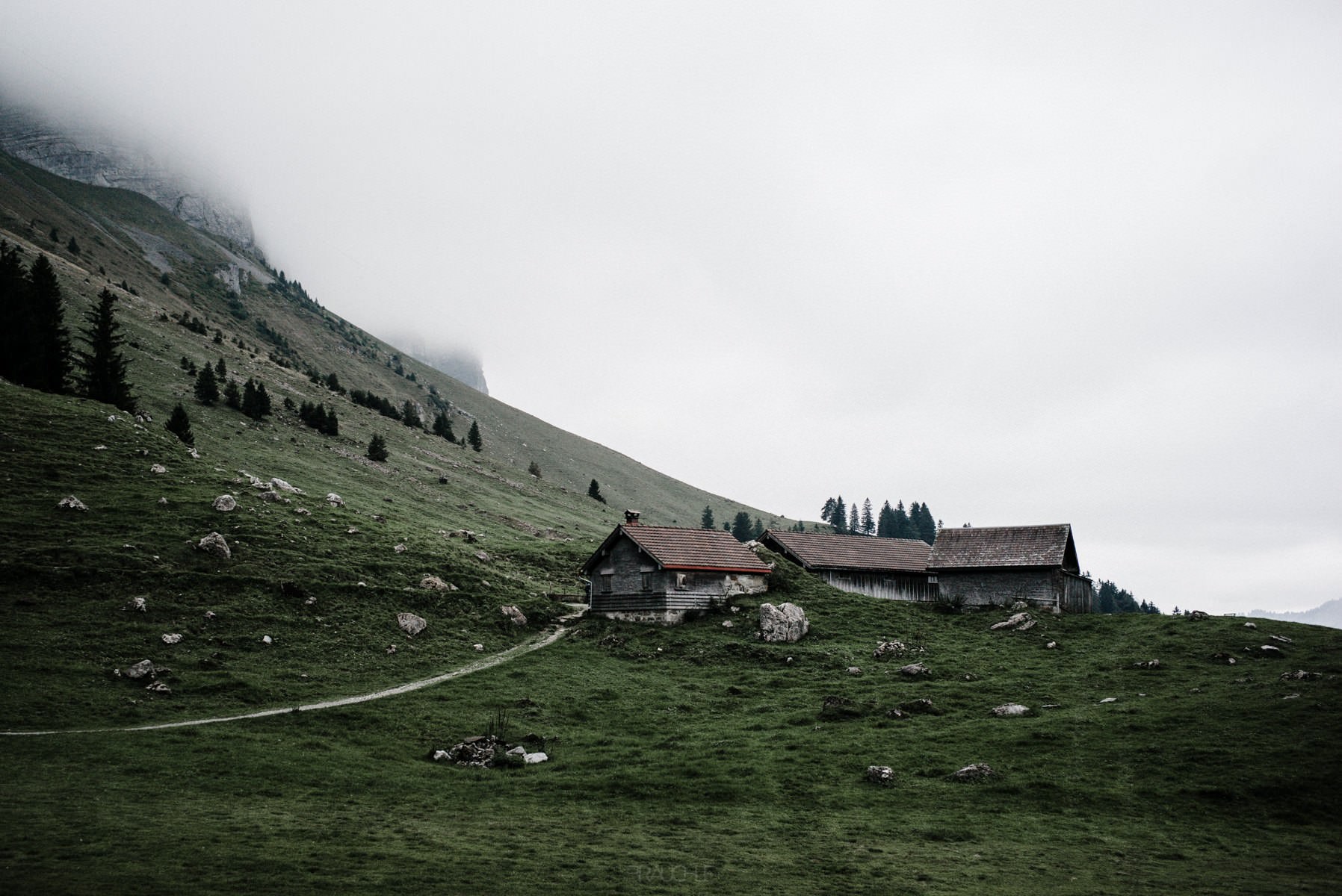
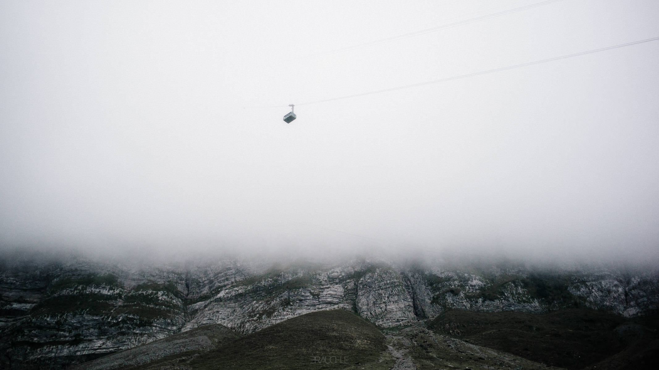
The goal at the very top: the Säntis with its transmitter mast, the cableway ropes in front.Green meadows, firs and a path – the start at the Schwägalp is still easy-going.From the ridge down into the green valley, a pale rock face rising on the left.A steep, layered rock face with a narrow ledge at the top.The dark steep slope on the left, meadows and distant mountains on the right.A steep grassy ridge, its crest running into the fog.Narrow and steep: on the left the slope drops into fog and valley.Fog drifts over the rocky ridge, grass and pale boulders in front.A sharp rocky peak on the ridge – from the Grenzchopf on, the landscape is magnificent.A narrow ridge path, the right-hand slope vanishing in the fog.A mountain inn with a Swiss flag beside the path, the transmitter mast above.The Säntis on its rocky summit, the mountain houses in the haze on the left.A person on a stony hump, the expanse of the Alpstein ahead.Karst slabs and a jagged ridge, in black and white.The Swiss flag on a rock pinnacle – almost swallowed by the fog.A mountain house with a flag in the fog, the rocky ridge rising on the right.The rocky ridge to the summit, the transmitter mast on top under clouds.The clouds break up, the mountain houses on the slope below.Only a grassy tip of the ridge still pokes out of the white.The transmitter mast above the fog, bare rock in front.A rock rib half in the clouds, in black and white.The summit with its mast, the ridge breaking off into the fog on the left.A steep pale rock flank, the upper ridge hidden in fog.Clouds hang above the jagged ridge.Limestone as far as you can see – above, the fog dissolves the edge.Small on big slabs: a hiker in a pink jacket on the ridge.A short break on the ridge, the mast waiting in the fog at the top right.Swathes of fog over the ridge, the crests only clear here and there.Slanting, layered rock ribs under thin fog.The rock face of the Säntis, summit and edge hidden in fog.Nothing but cracked limestone, fissures and slabs.The cableway cabin emerges from the fog.Dark rock walls on the left, the ridge running into the fog on the right.An ibex with curved horns on the scree – it knows the way better than we do.Unmistakable: an arrow and the word Säntis painted on the boulder.A red-and-white waymark on the edge of the rocky ridge in the fog.A wire rope on iron posts runs along the ridge.The safety rope above the steep flank, in black and white.The transmitter mast from below, its tip disappearing into the fog.At the top, 2,502 metres: summit buildings with a red roof in the fog.The cableway ropes converge in the fog – the easy way back down.Wooden huts on the meadow slope at the Schwägalp.Rock face and green slopes, the peaks already in cloud.A small cabin floats above the foggy rocky ridge.