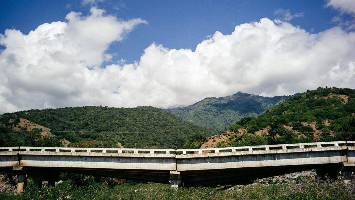
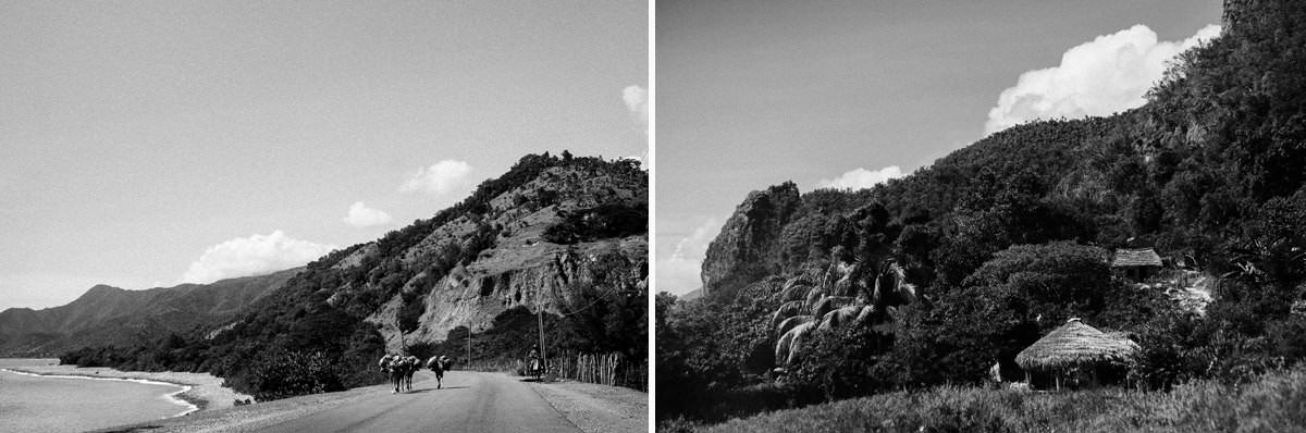
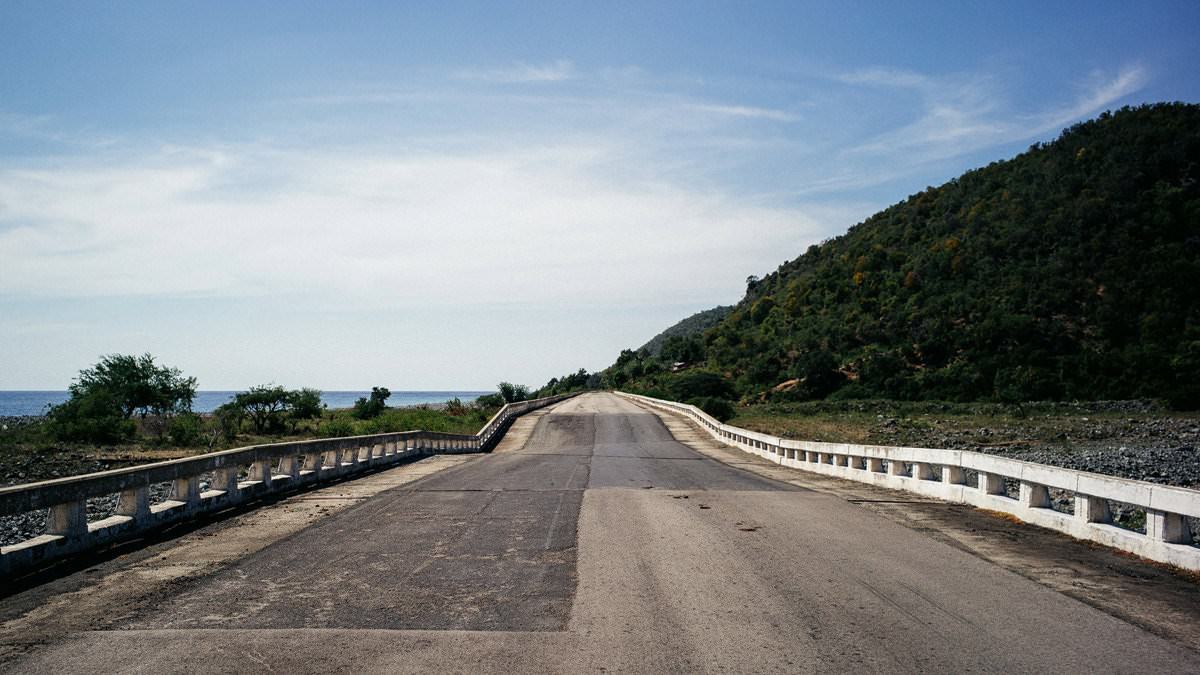
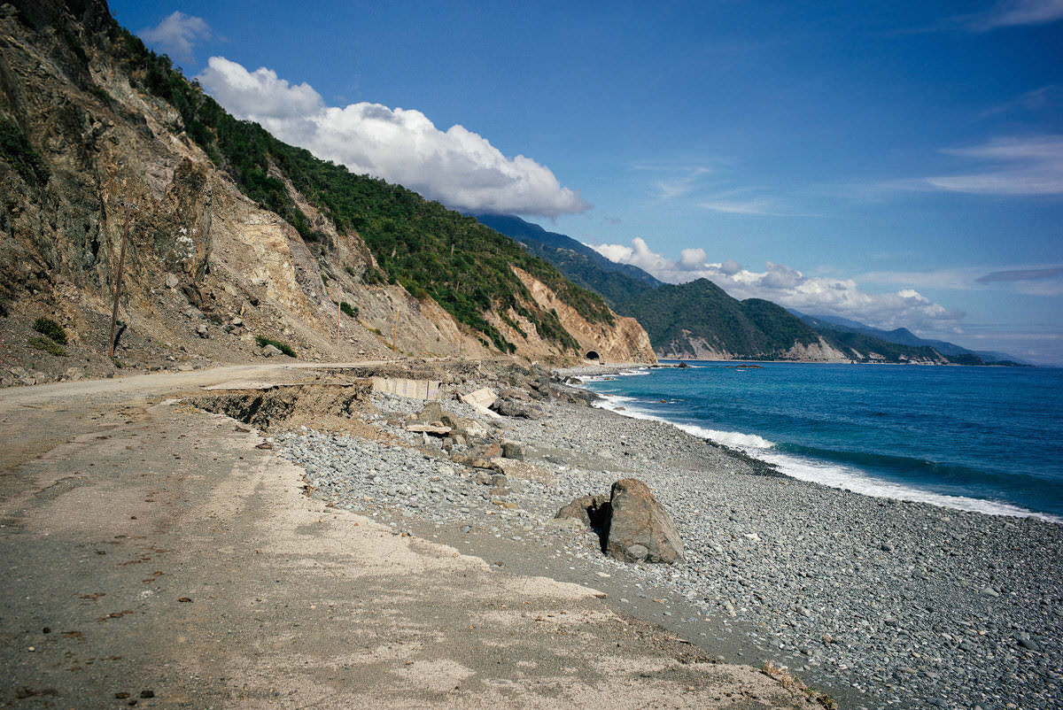
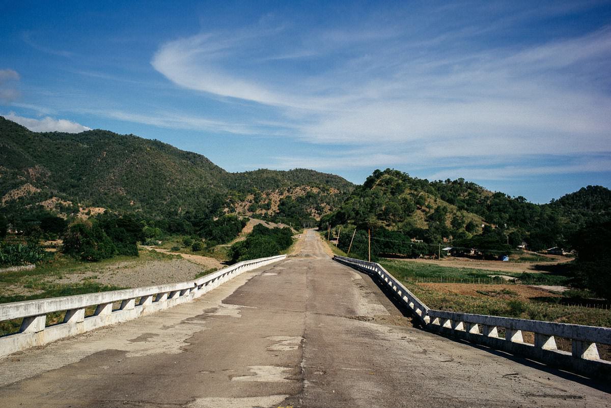
Since a hurricane in 2012 the road between Santiago de Cuba and Pilón in south-eastern Cuba has been hard to drive, especially around Pilón: it leads over collapsed bridges and in several places straight across the beach. Because our next destination was the Sierra Maestra and we had enough time, we ventured onto this route anyway.
140 kilometres in eight hours
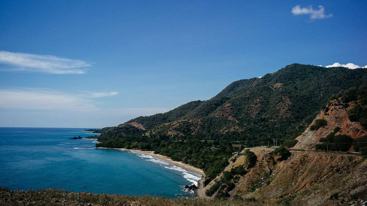
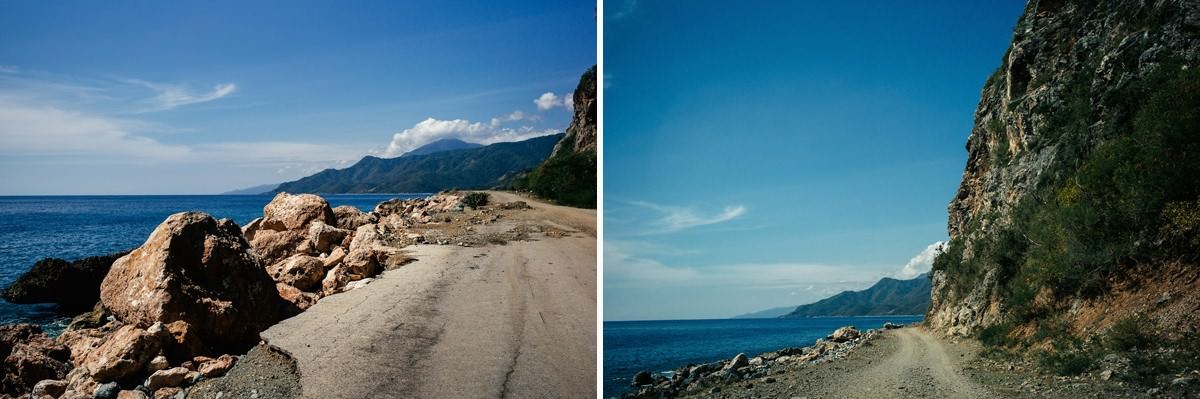
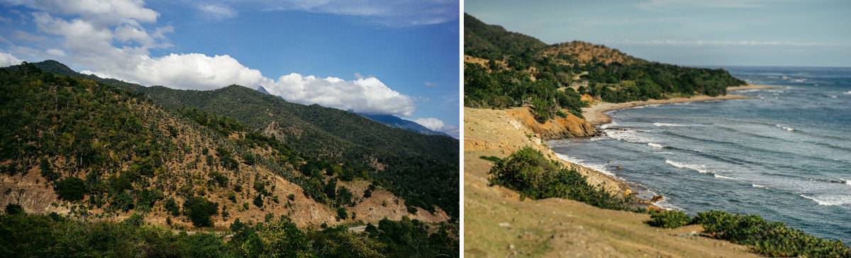
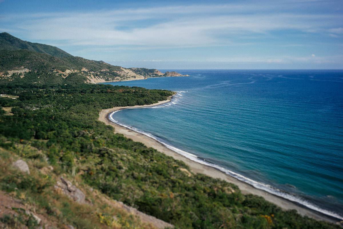
In the end the roughly 140 kilometres took us eight hours. We had actually wanted to drive straight through to Santo Domingo in the Sierra Maestra, but to be on the safe side we spent the night in Pilón – after all that concentrated driving it did us good. On the way there were wonderful views of Cuba's coast and a few beaches for a break with a cold cerveza. The coast road, the Circuito Sur de Oriente, runs between the Caribbean and the Sierra Maestra, which here rises almost straight out of the sea.
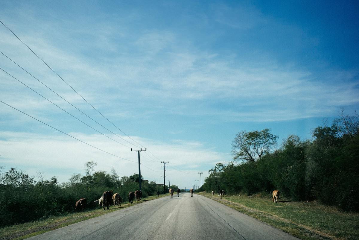
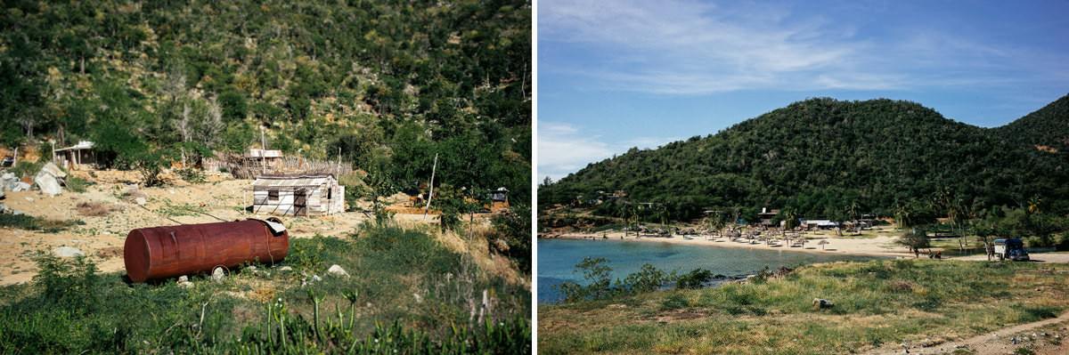
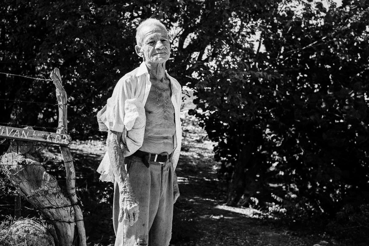
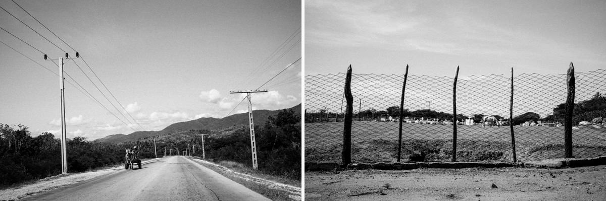
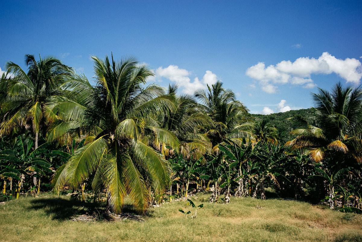
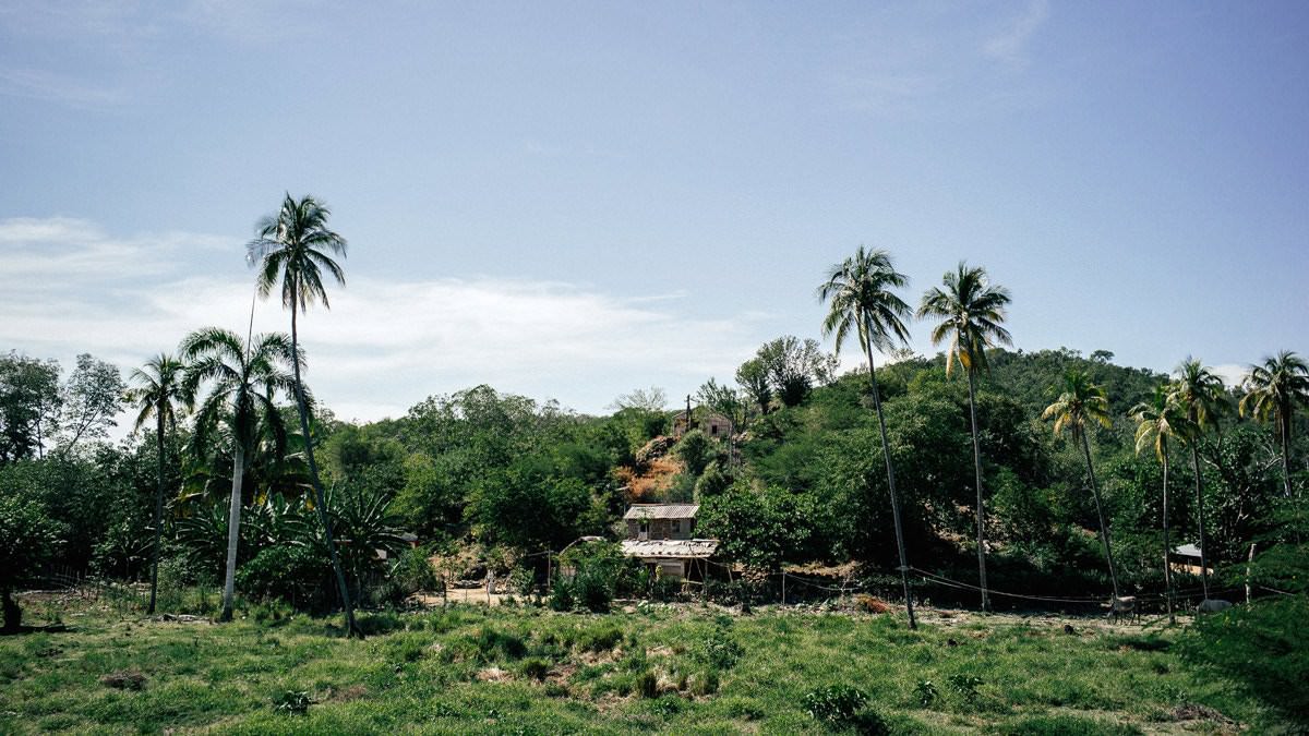
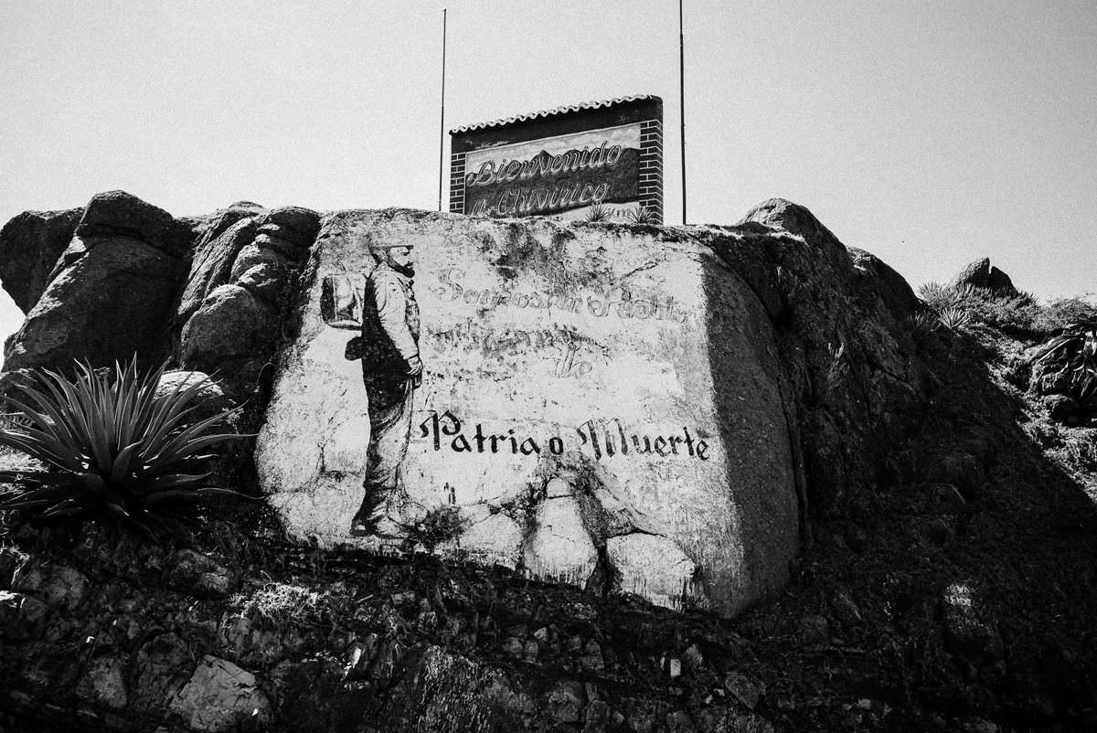
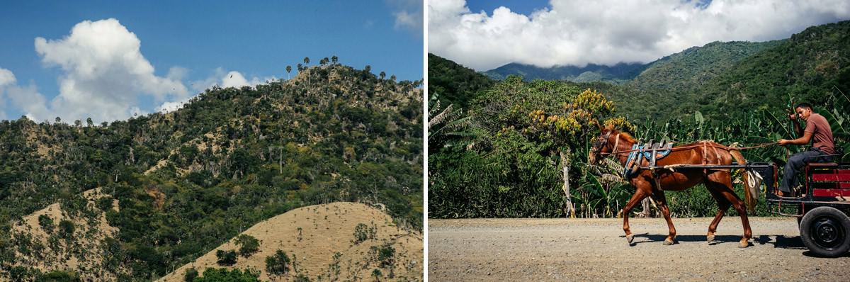
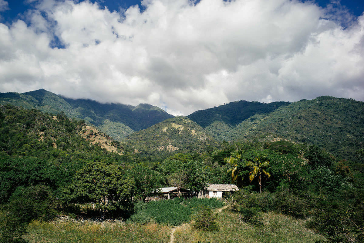
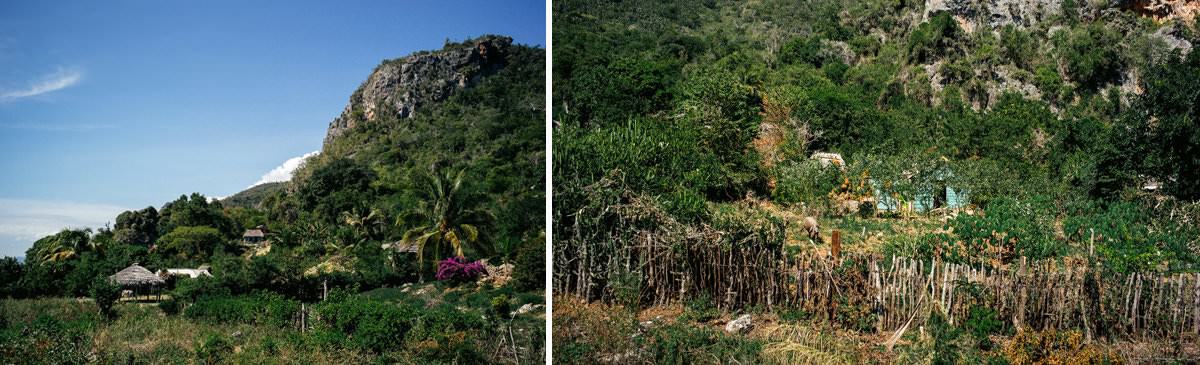
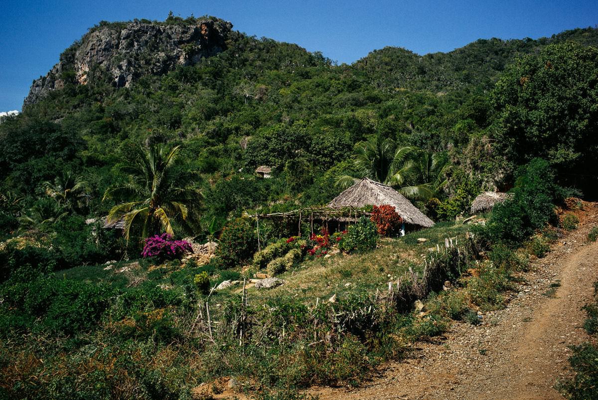
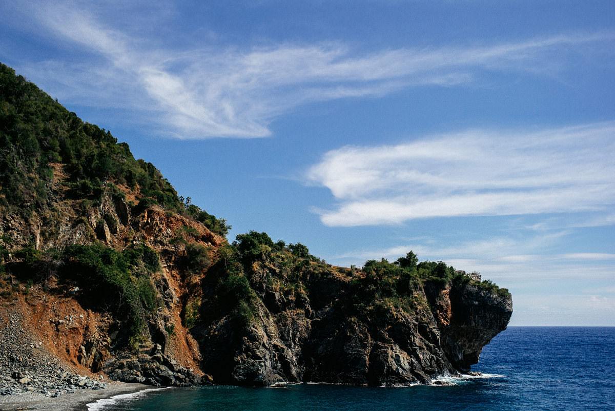
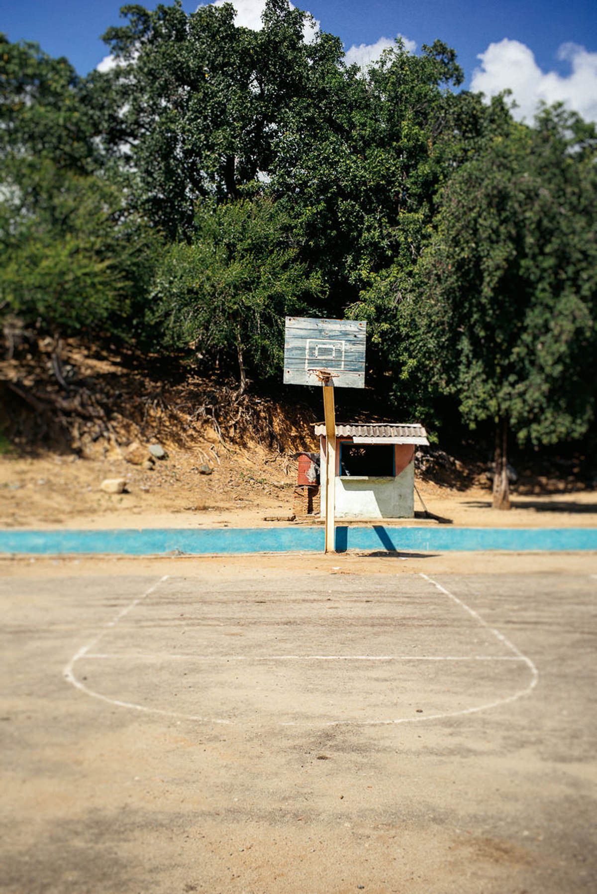
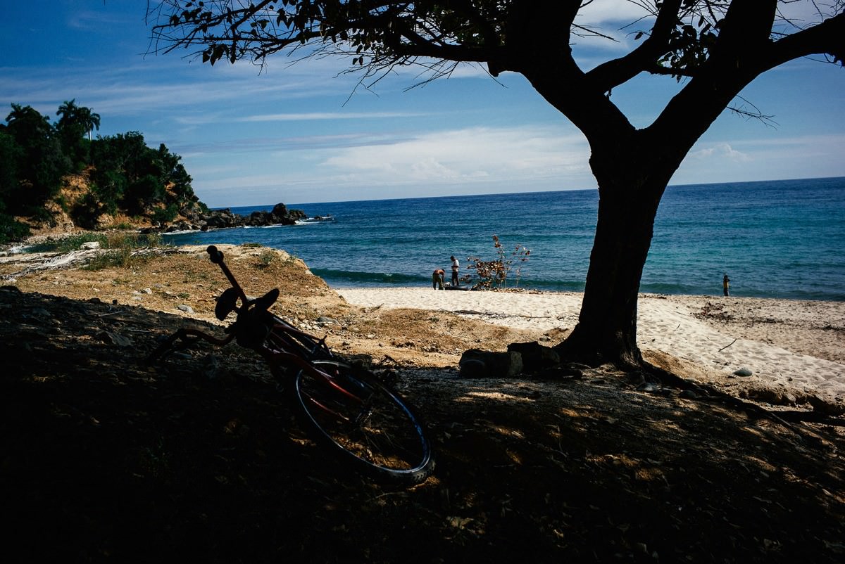
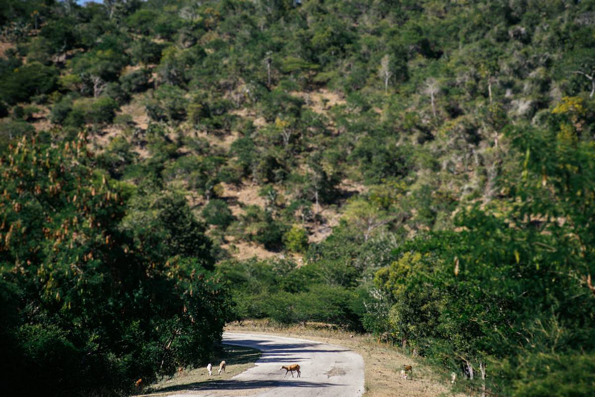
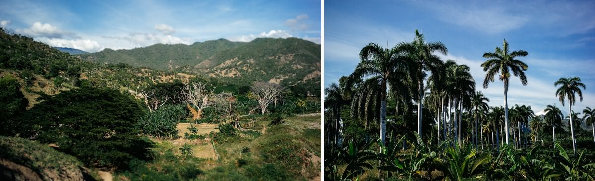
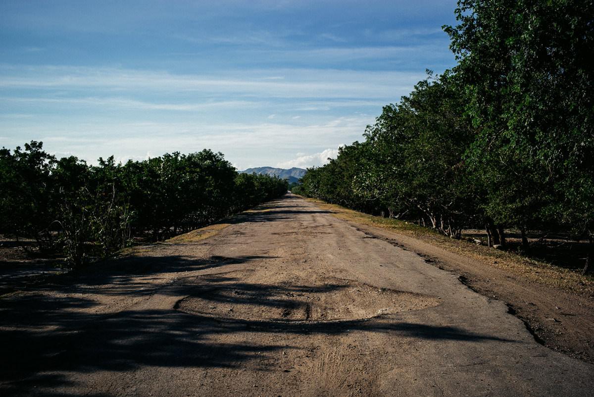
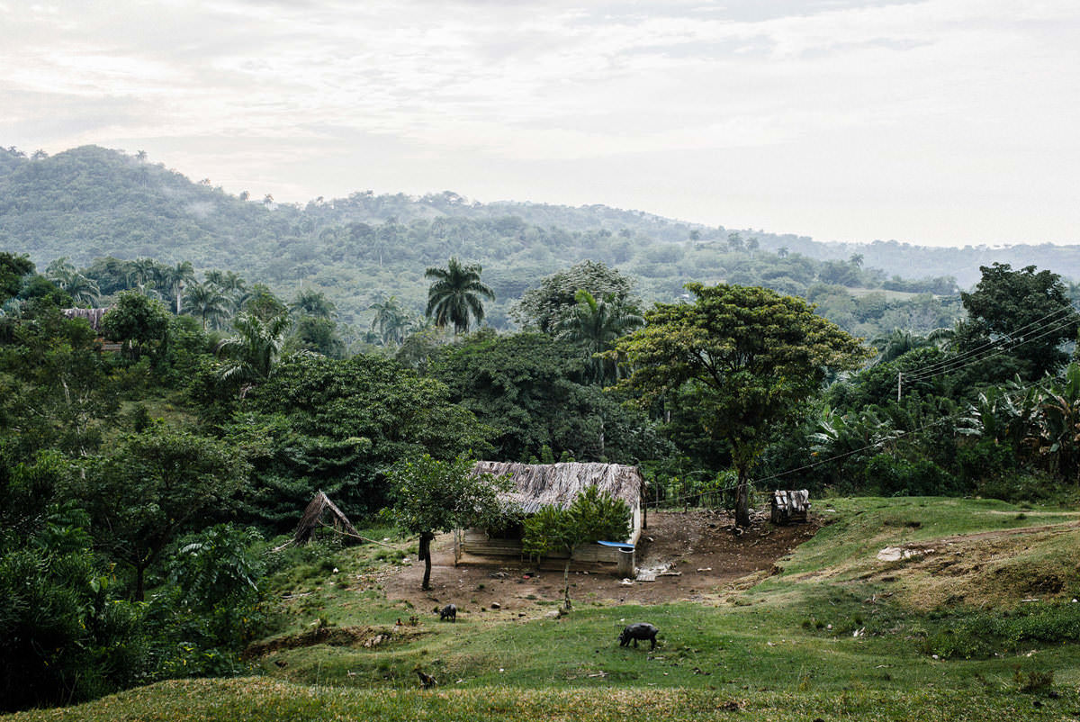
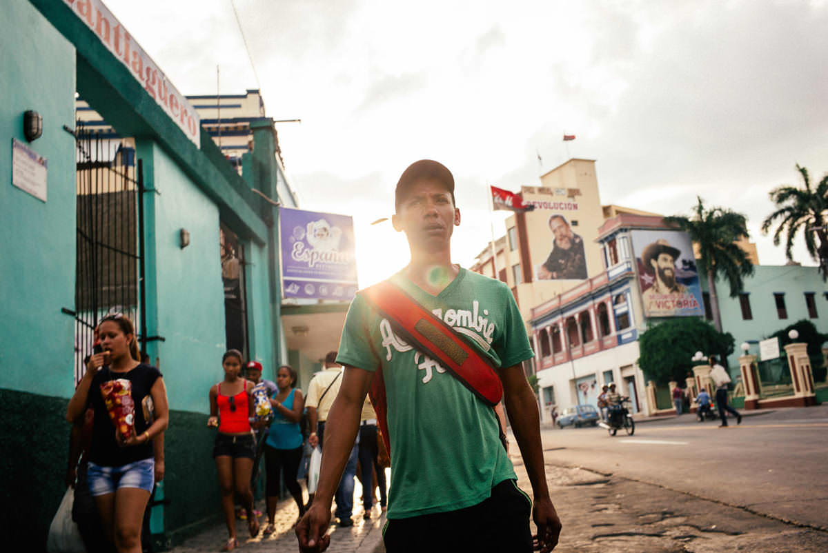
Cattle and two pedestrians share the road – just outside Santiago it is still in good shape.Left, a rusty tank by a hut; right, a bay with a few houses.Shirt open, eyes alert: an encounter in the shade of the roadside trees.Red earth, boulders and bushes on the slopes above the road.Left, the road beneath power poles; right, a fence of posts and wire.Coconut palms and banana plants in a roadside meadow.Tall palms above a low house in the greenery.“Patria o Muerte” on a painted rock by the road.Left, a billboard on the shore; right, a classic car on the coast road between the Caribbean and the mountains.Here the Sierra Maestra rises almost straight out of the sea – a bay below steep green slopes.Left, a wooded hill; right, a horse-drawn cart on the road.A bridge railing against clouds and green mountains – this bridge is still standing.Left, the track along the rocky shore; right, the road beneath the cliff.Clouds hang over the mountains, a few houses in the greenery below.Left, people on the road by the beach; right, a hut with a palm-leaf roof.A bridge between sea and mountain – patched, but passable.Left, a rocky knoll above the houses; right, a fence made of branches.A palm-thatched hut, flowering bushes and the rocky slope behind.The rocky coast overhangs turquoise water – views like this made up for the drive.A basketball hoop beneath the trees, a small hut beside it.A bicycle in the shade, the beach behind – time for a cold cerveza.Animals on the winding track below the green slope.A concrete tunnel in the rock, the track detouring onto the pebble beach.The tarmac ends here: since the 2012 hurricane the route runs straight across the beach in several places.Left, forested mountains; right, surf at a headland.A bridge with a patched road surface – around 140 kilometres in eight hours.Left, a valley with palms; right, a cluster of tall royal palms.A long bay with a sandy beach beneath wooded slopes – the Circuito Sur de Oriente.Potholes in the shade of the trees – shortly before Pilón, where we stayed the night to be safe.